
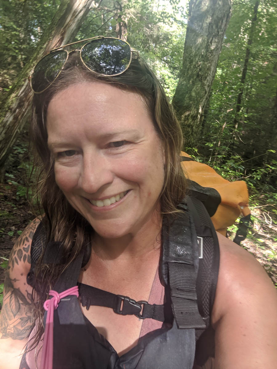
Would you travel around Algonquin Park covering about 420 km just to get your name on a wall? I know I would. So when my friend Peter messaged me about completing a section of a trip called the “Meanest Link” I was all in. The section we would attempt to complete was a total distance of 102.2 km that went from Lake Opeongo to Oxtongue Lake connecting the two Algonquin Outfitter stores at each location.
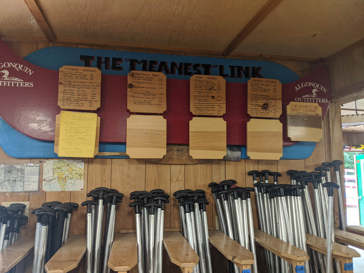
What is the Meanest Link?
What exactly is the meanest link you might ask? It’s best to head over to the Algonquin Outfitters link here to read more about it.
Due to limited time for this trip, Peter had asked me to join him for the section that went from Lake Opeongo to Oxtongue Lake which goes through the following lakes: Opeongo, Sproule, Sunday, Little Rock, Kearney, Whitefish, Pog, Lake of Two Rivers, Madawaska, Cache, Tanamakoon, Little Madawaska River, Source, Ouse, Smoke, Tea, Oxtongue River, and Oxtongue Lake.
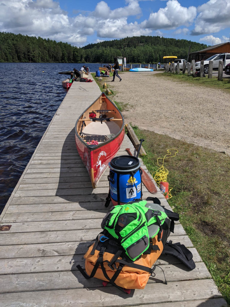
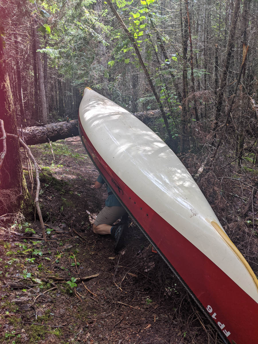
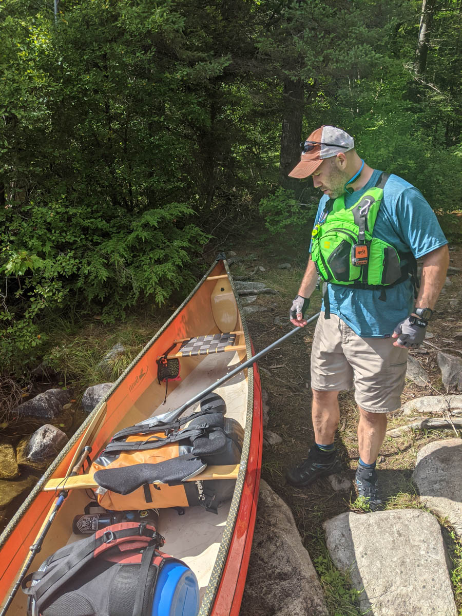
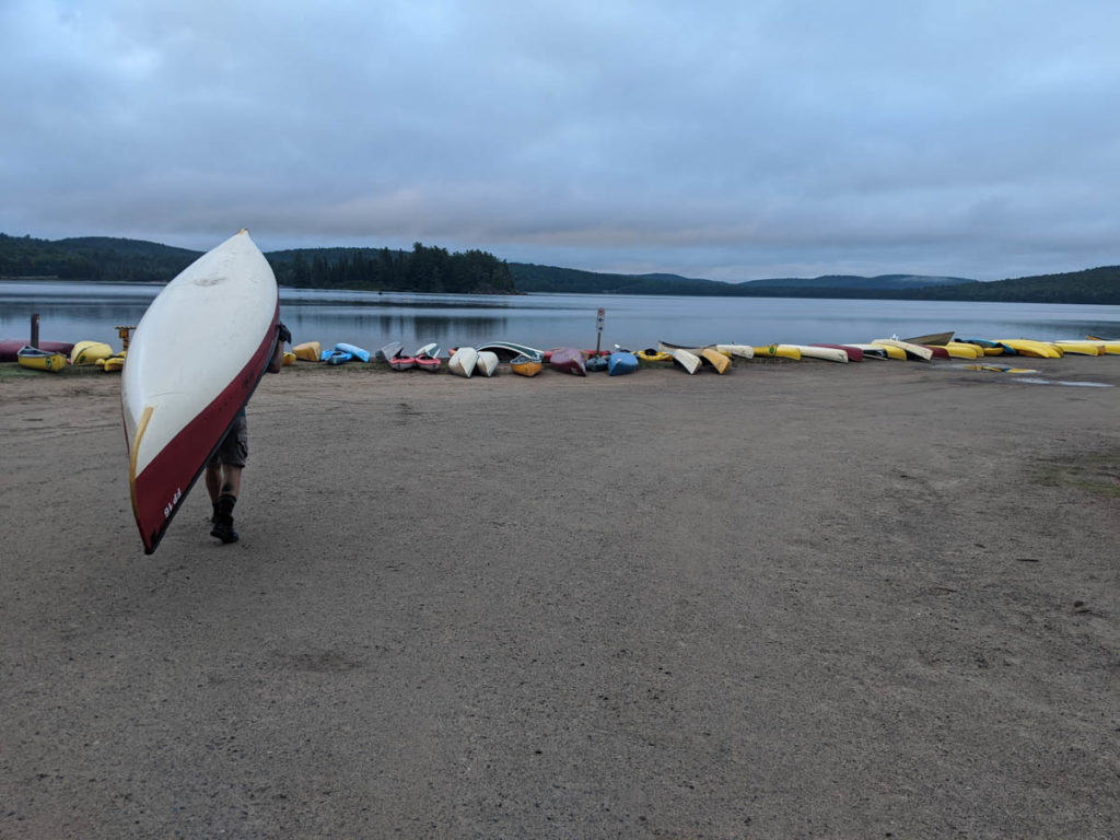
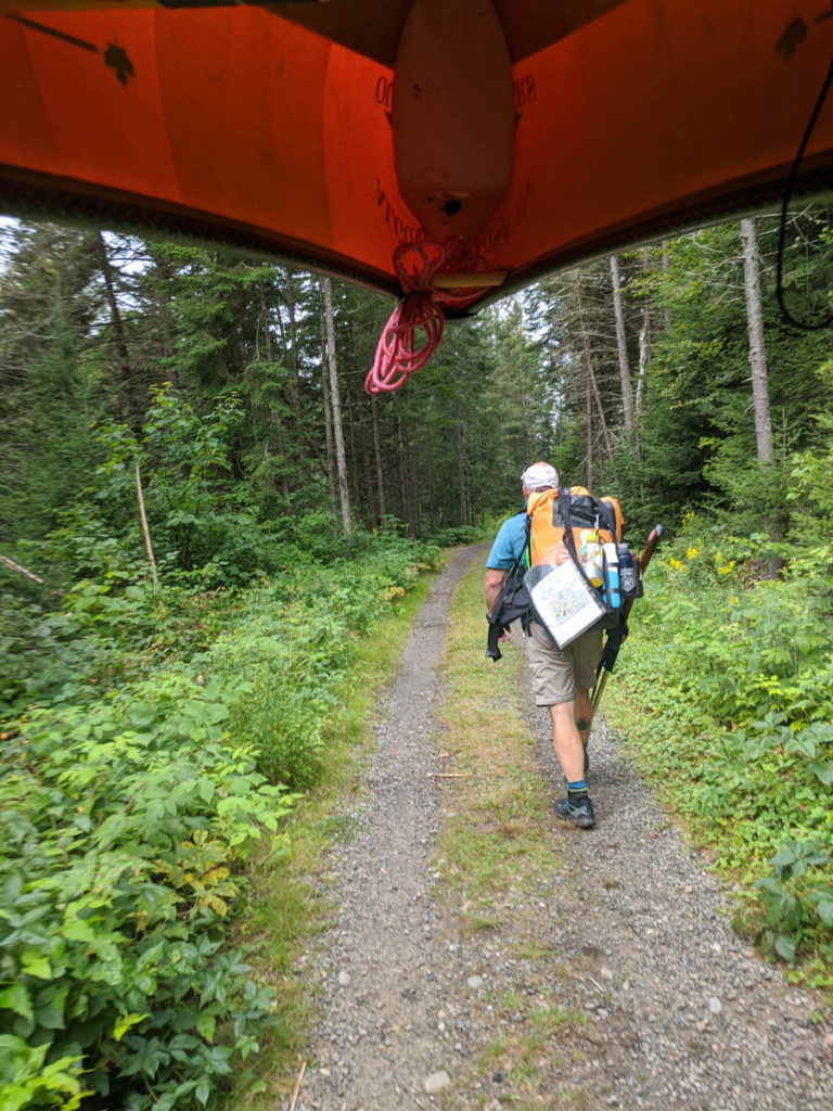
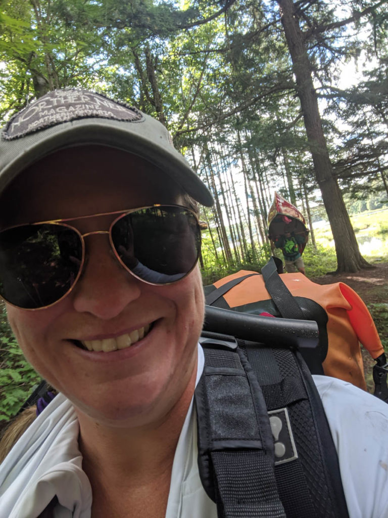
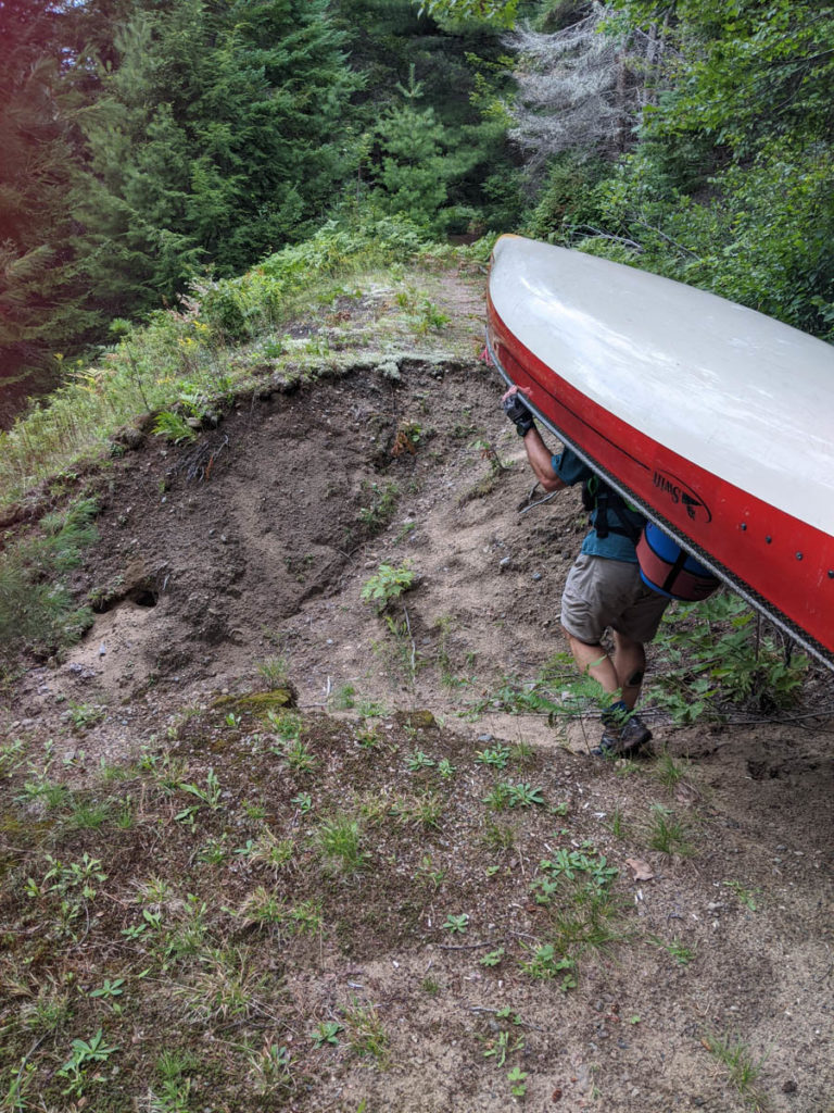
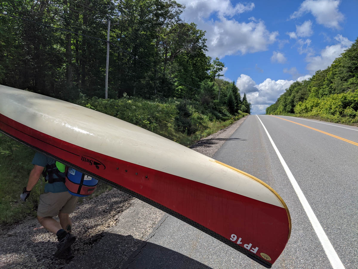
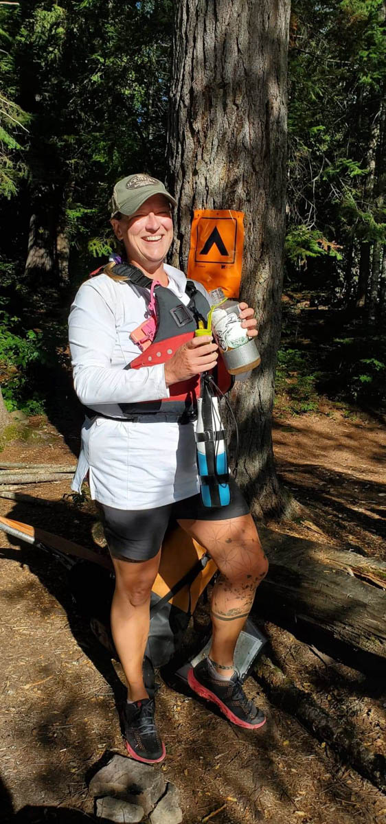
There were some goals we aimed to achieve while on this trip. The first was to make sure we would “single carry” on the portages (taking all gear across each portage in one trip) which meant our gear would have to be as light as possible. Peter is very knowledgeable in lightweight gear, so we figured out how to get all of our gear in one 75L dry bag. Our second pack was a 30L barrel that contained our food and all other cooking and camp gear. We also decided to rent a featherweight canoe from Algonquin Outfitters to make the portage that much more manageable. On the portages, one person would carry the gear and paddles, while the other person carried the canoe and food barrel. The second goal was to travel as long as we could each day (safely of course!).
Tuesday Afternoon – Opeongo to Lake of Two Rivers
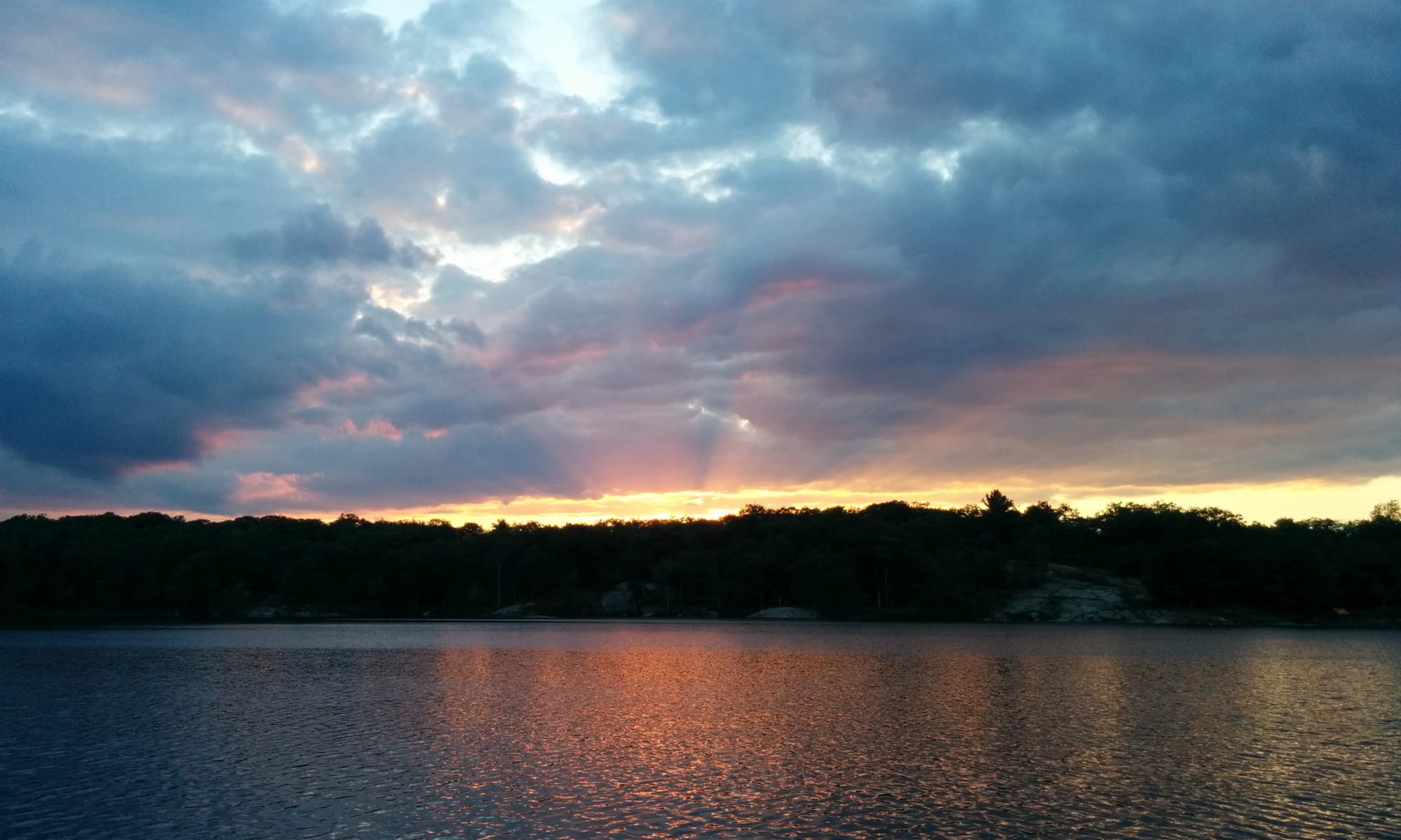
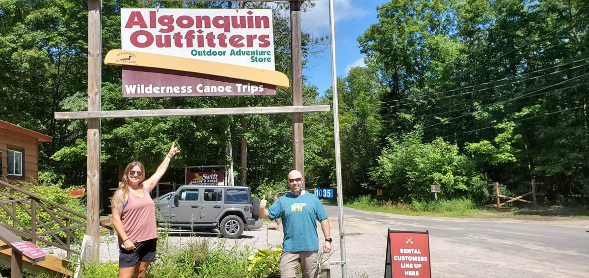
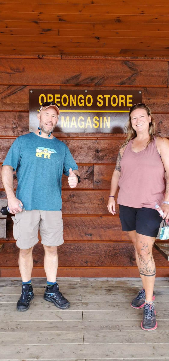
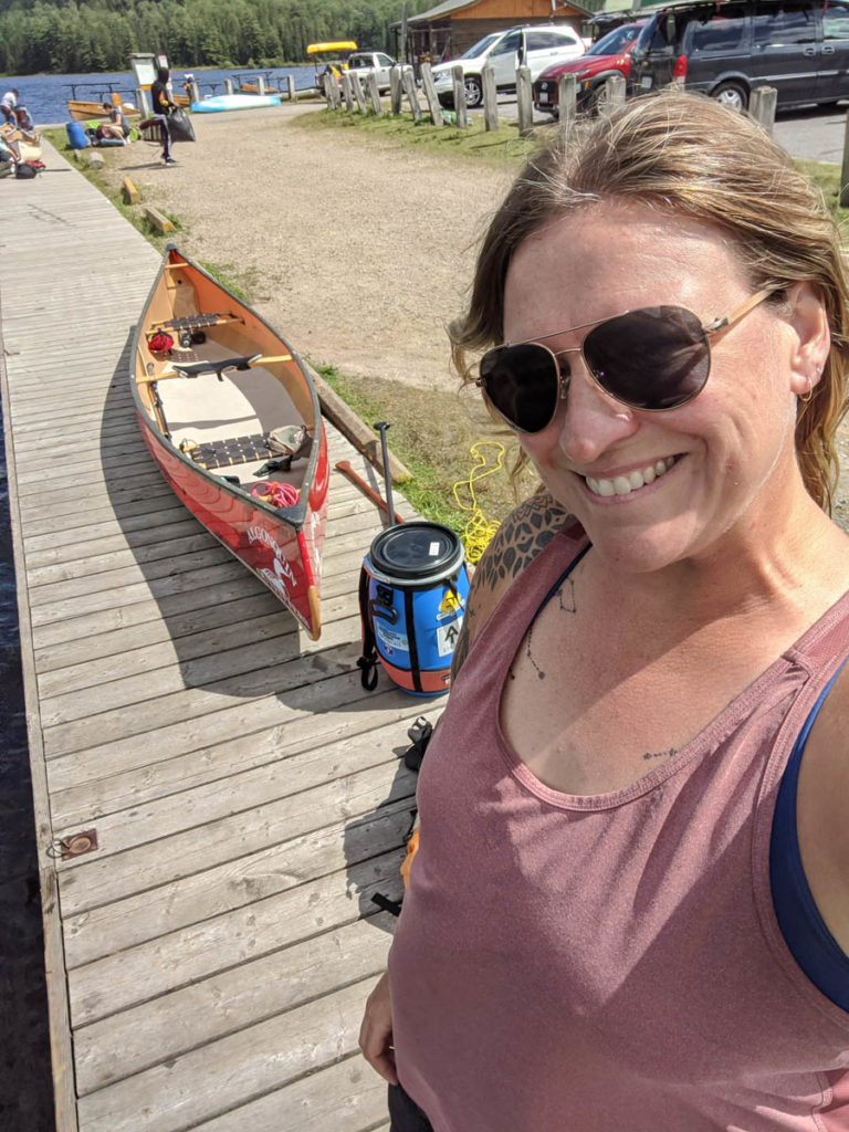
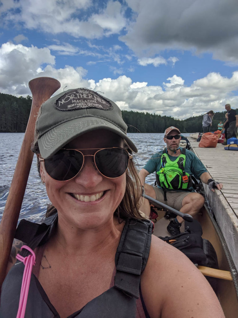
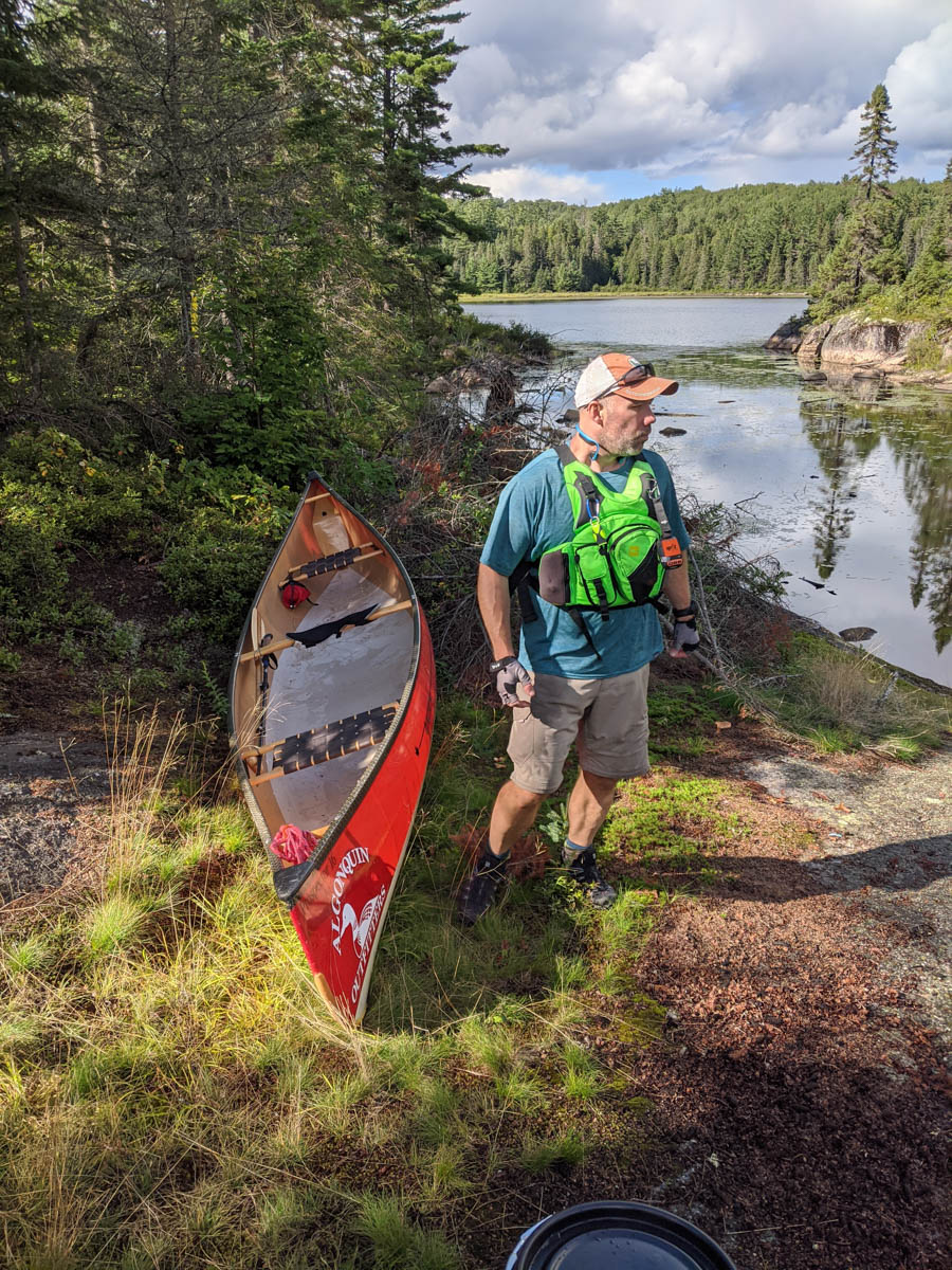
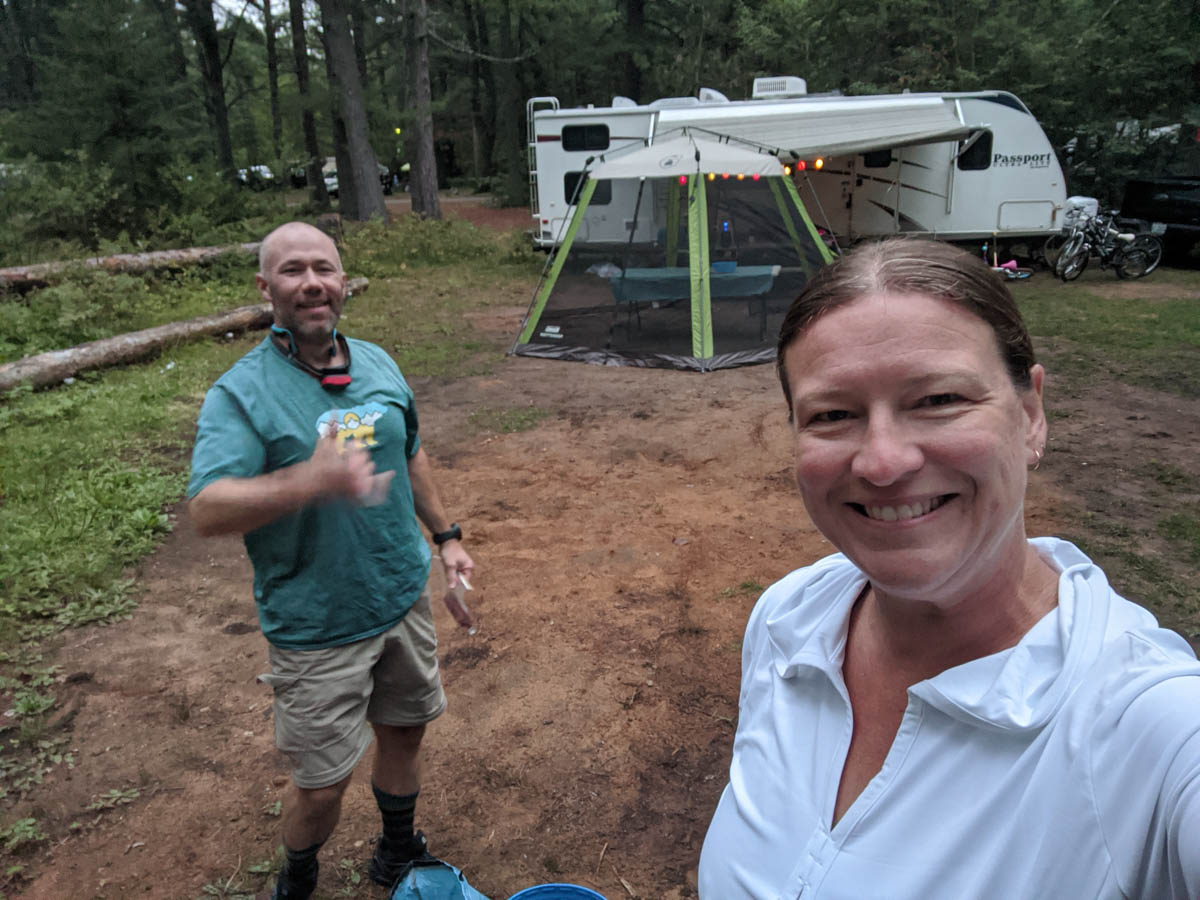
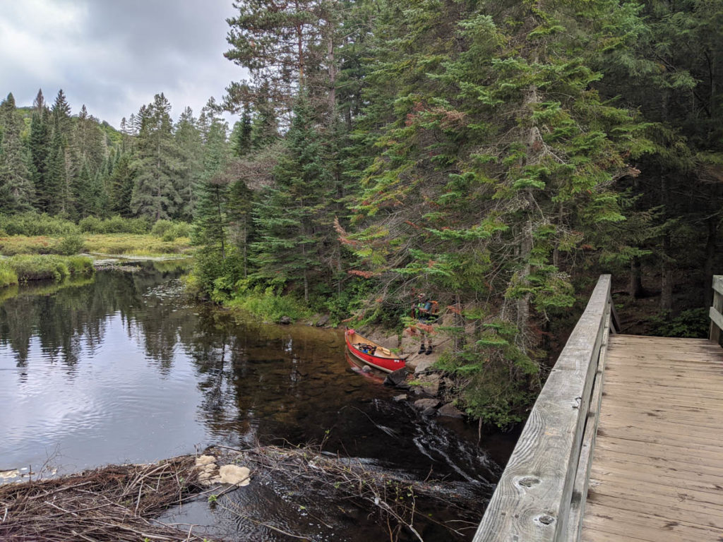
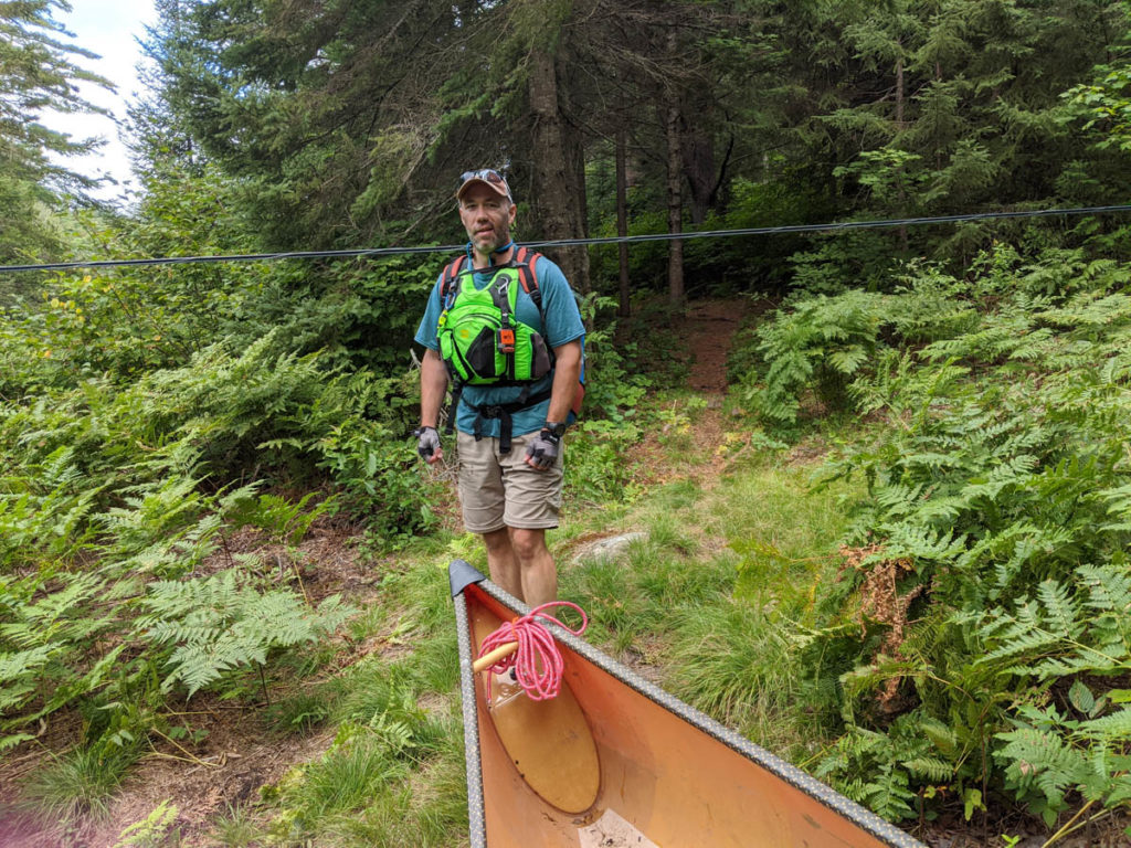
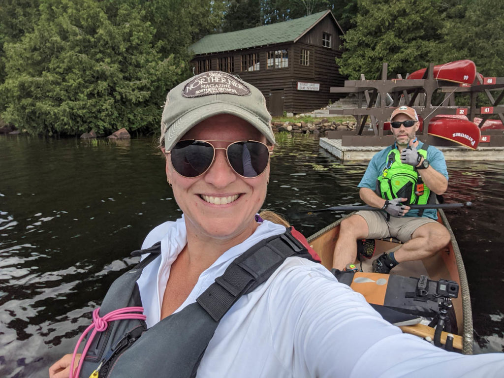
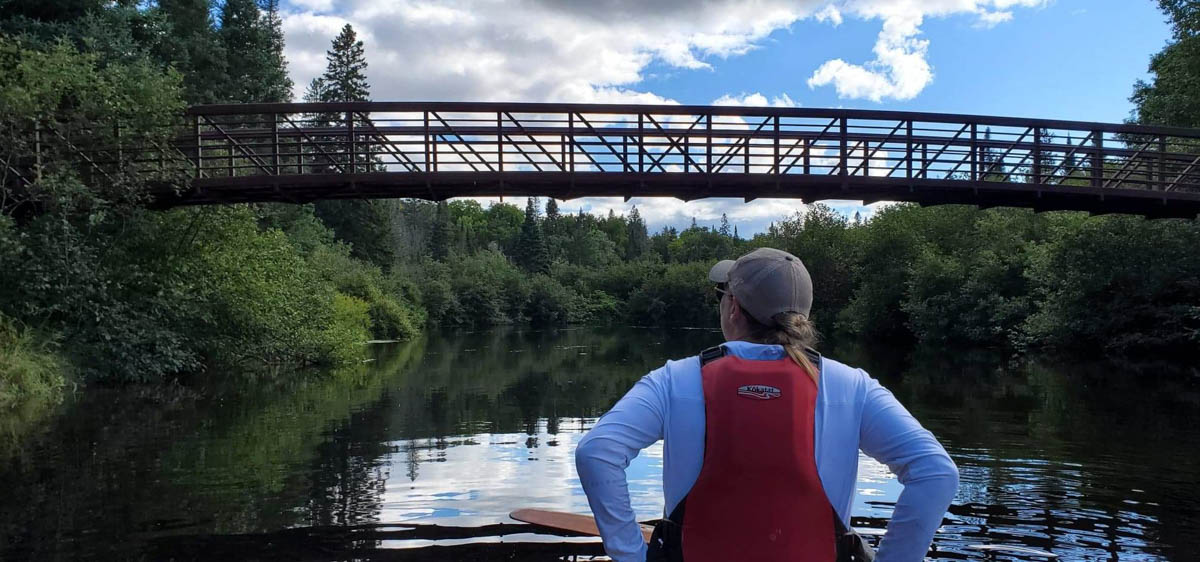
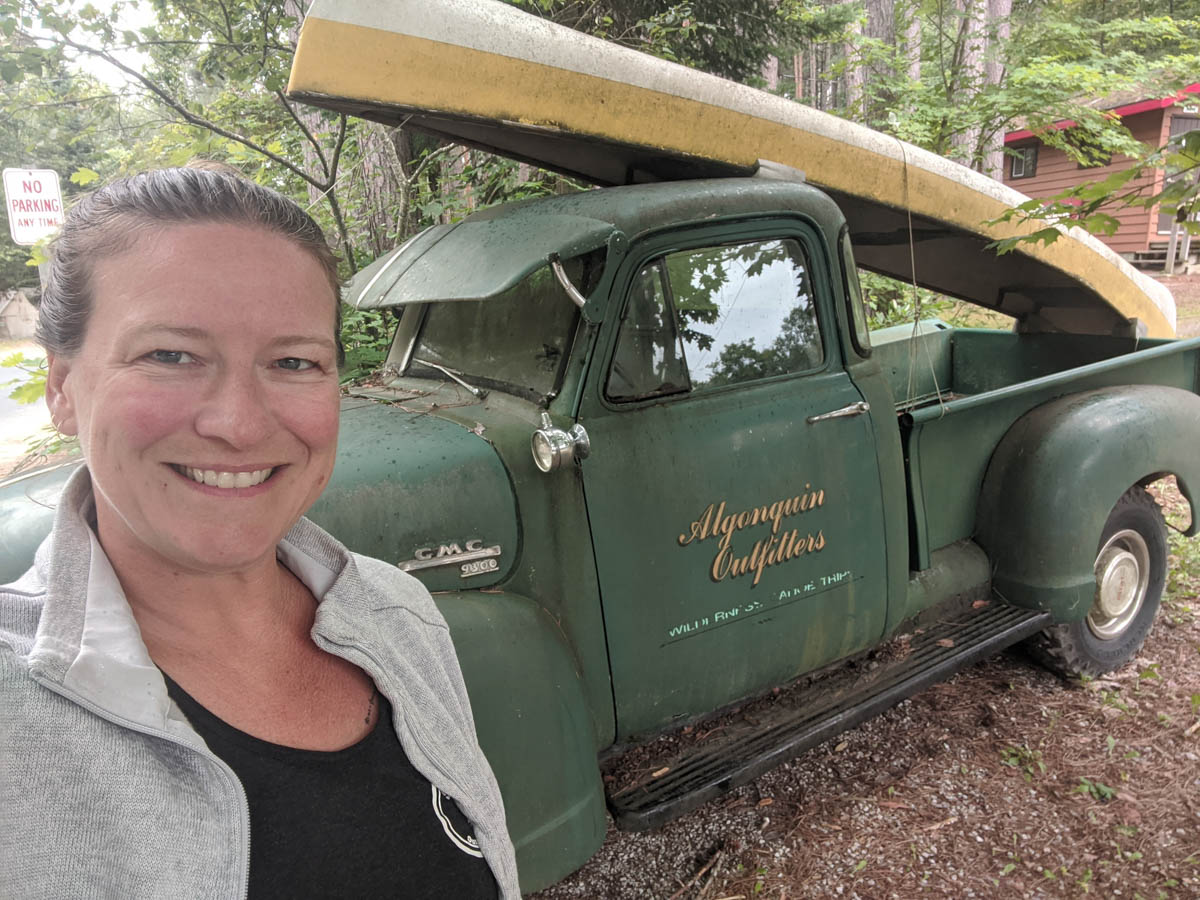
To start our trip we met at the Algonquin Outfitters at Oxtongue Lake to get our canoe and some logistics from Gord Baker. With all our gear set we headed down the highway to Lake Opeongo where we took our official starting picture. It was about 2:45 pm when we pushed off the dock and started this leg. Opeongo and the meanest link spirits wanted us to get a good feel for what we had gotten ourselves into by greeting us with a nice head wind and a downpour of cold rain.
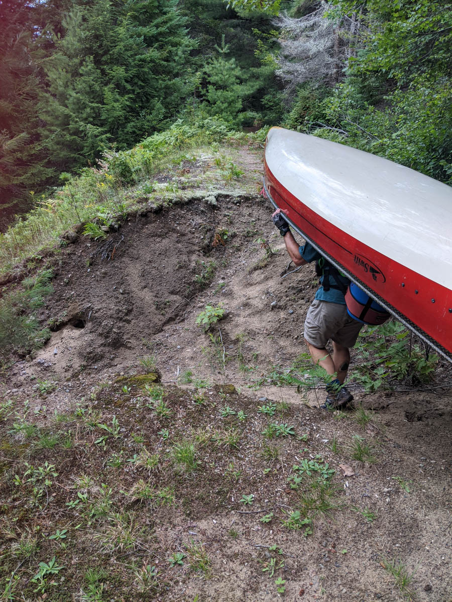
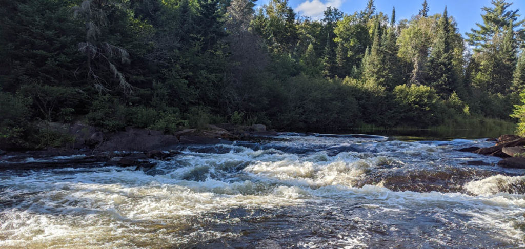
We took the wind and rain in stride and as we hit the first portage from Opeongo to Sproule the sun came out… until we hit the next lake, that is. Once back on the water, the rain showers showed up again. This pattern repeated itself until we reached Kearney Lake.
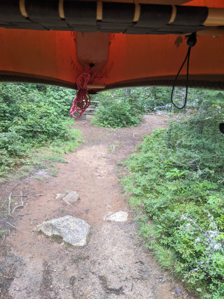
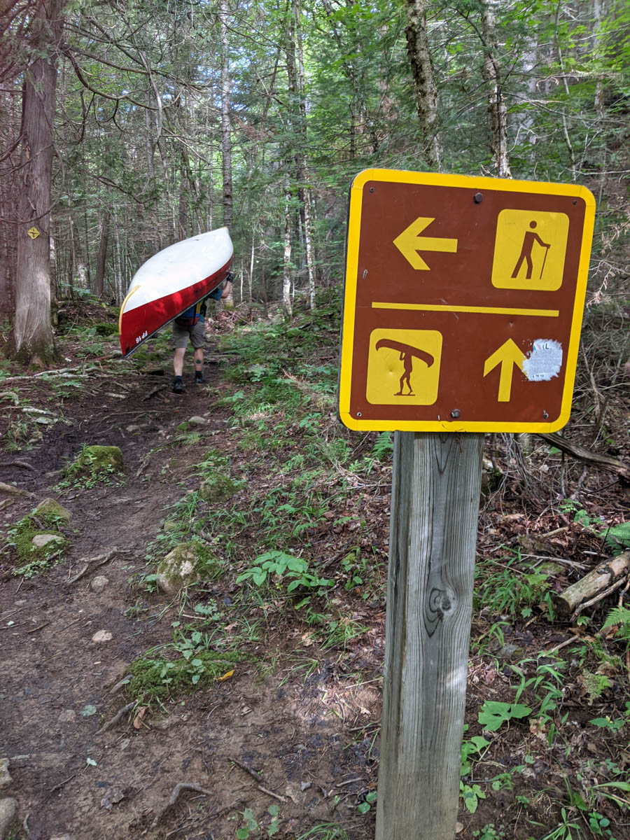
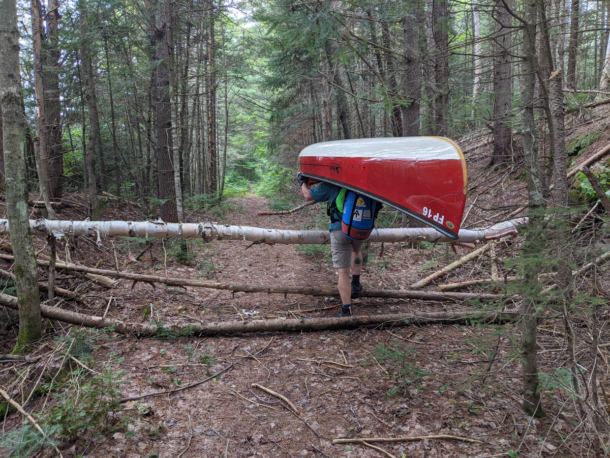
Not to be outdone by the weather, the portages presented their own challenges. We encountered plenty of obstacles to either go around, under or through somehow, such is the life.
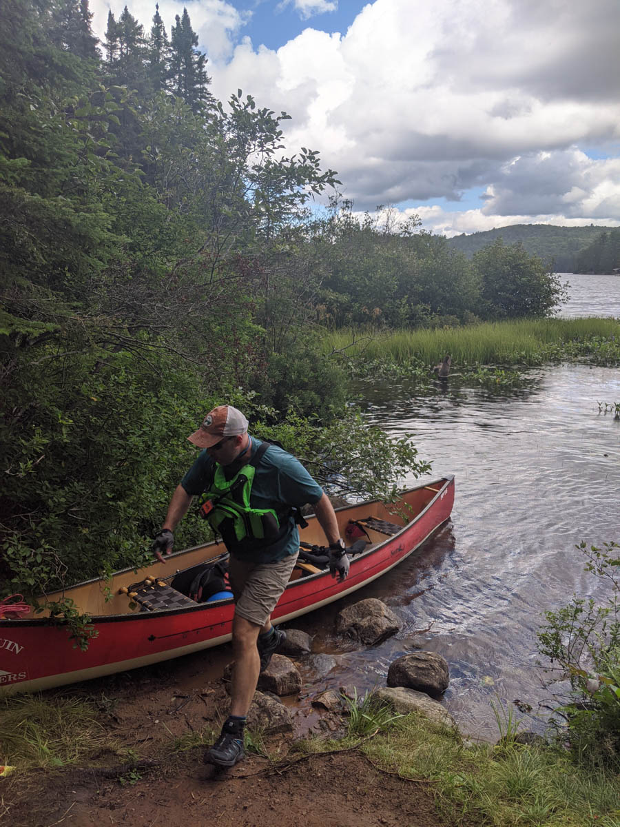
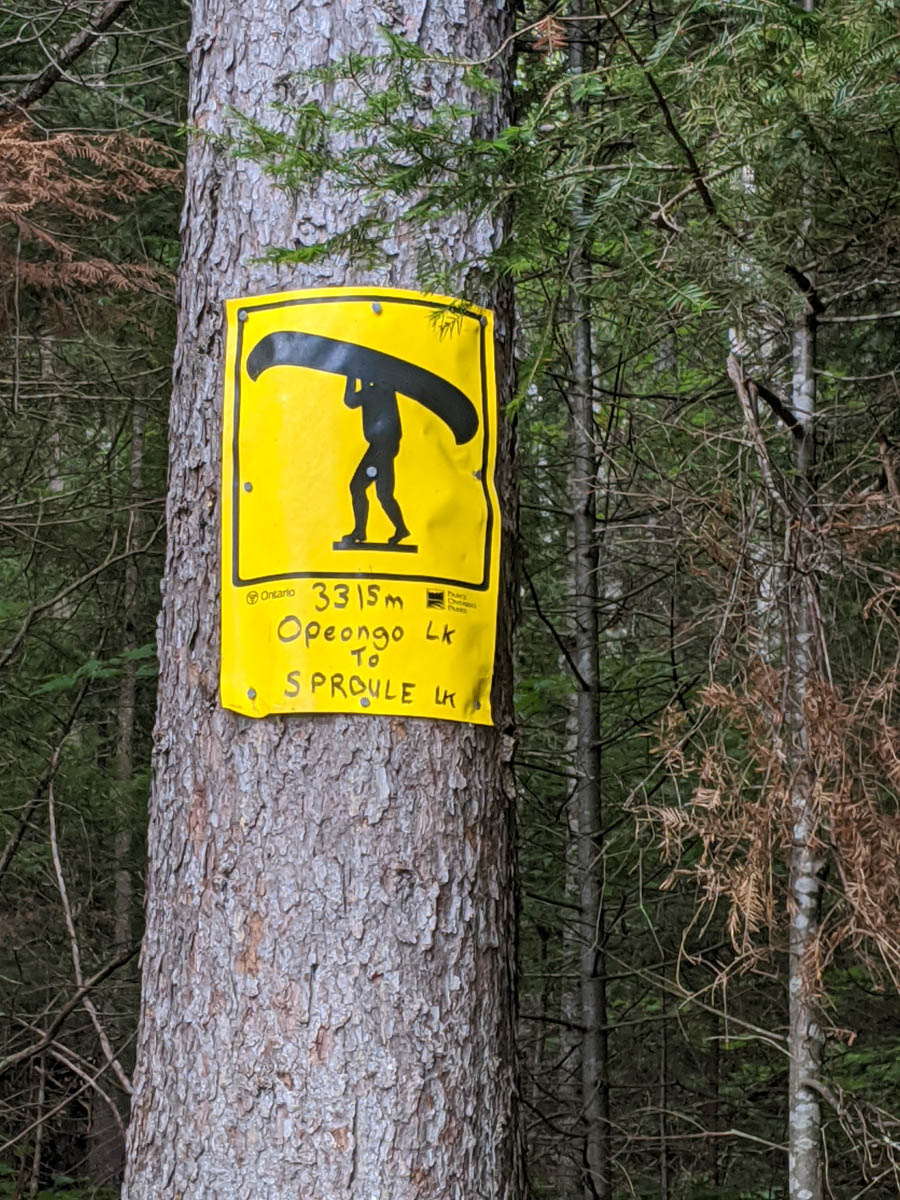
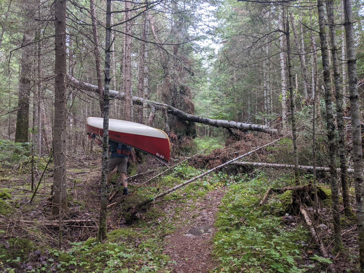
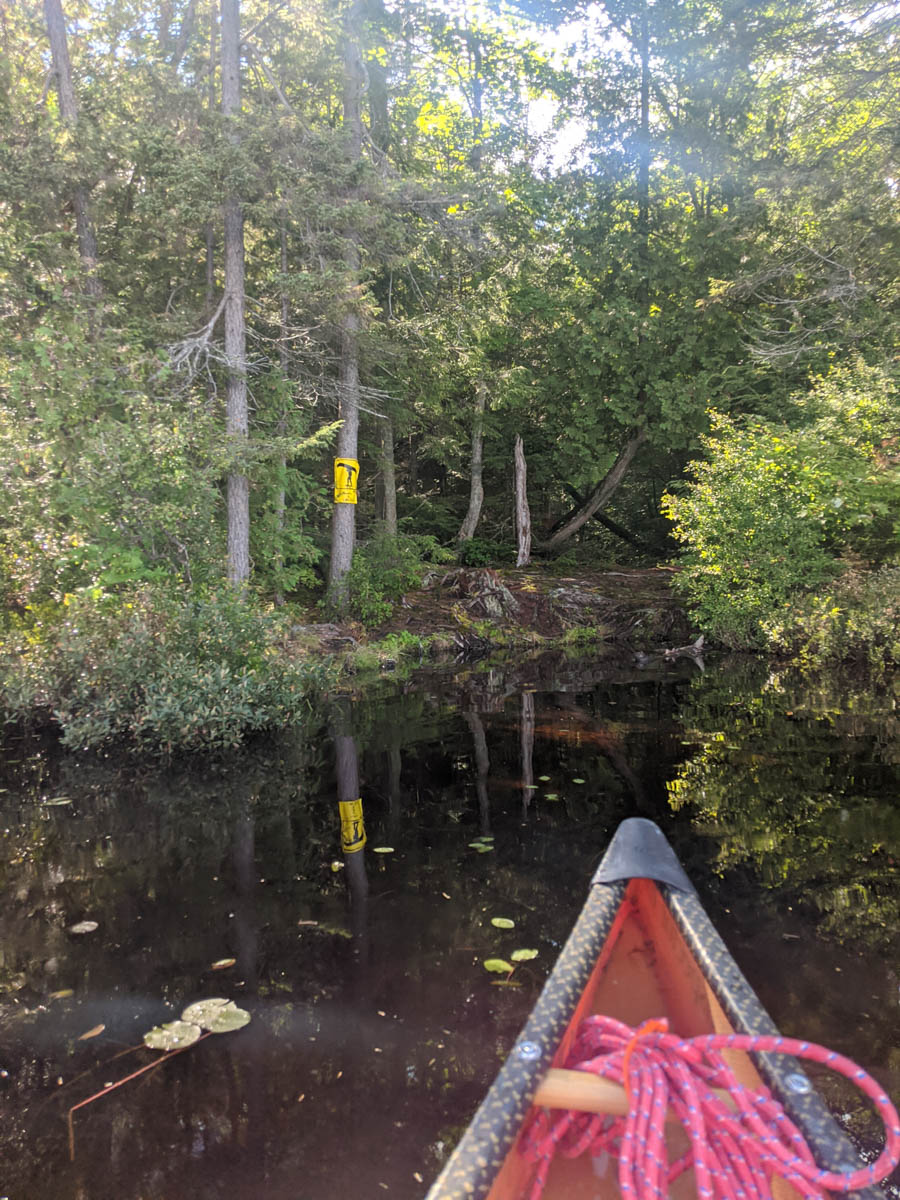
After the big portage from Opeongo into Sproule we had many small lakes to cross with a variety of sized portages in between. My favorite for the day was the portage from Kearney Lake across Highway 60 into Whitefish Lake (you will have to see my live video of this on the Meanest Link Facebook Group page). I have always seen these portage signs on the side of the highway and actually having the chance to cross it myself was so interesting.
Where to Camp for the Night??
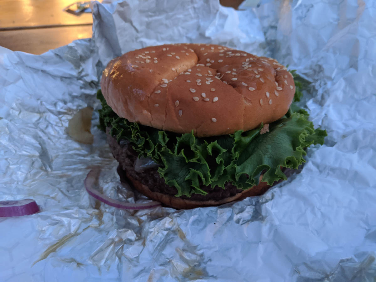
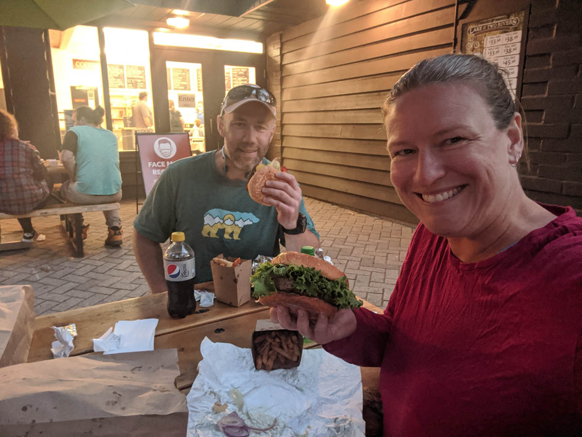
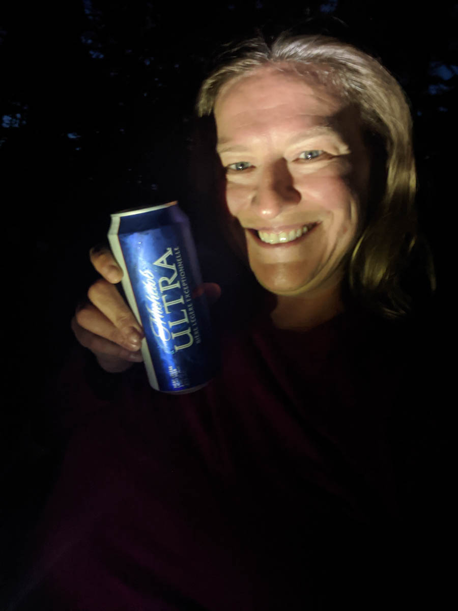
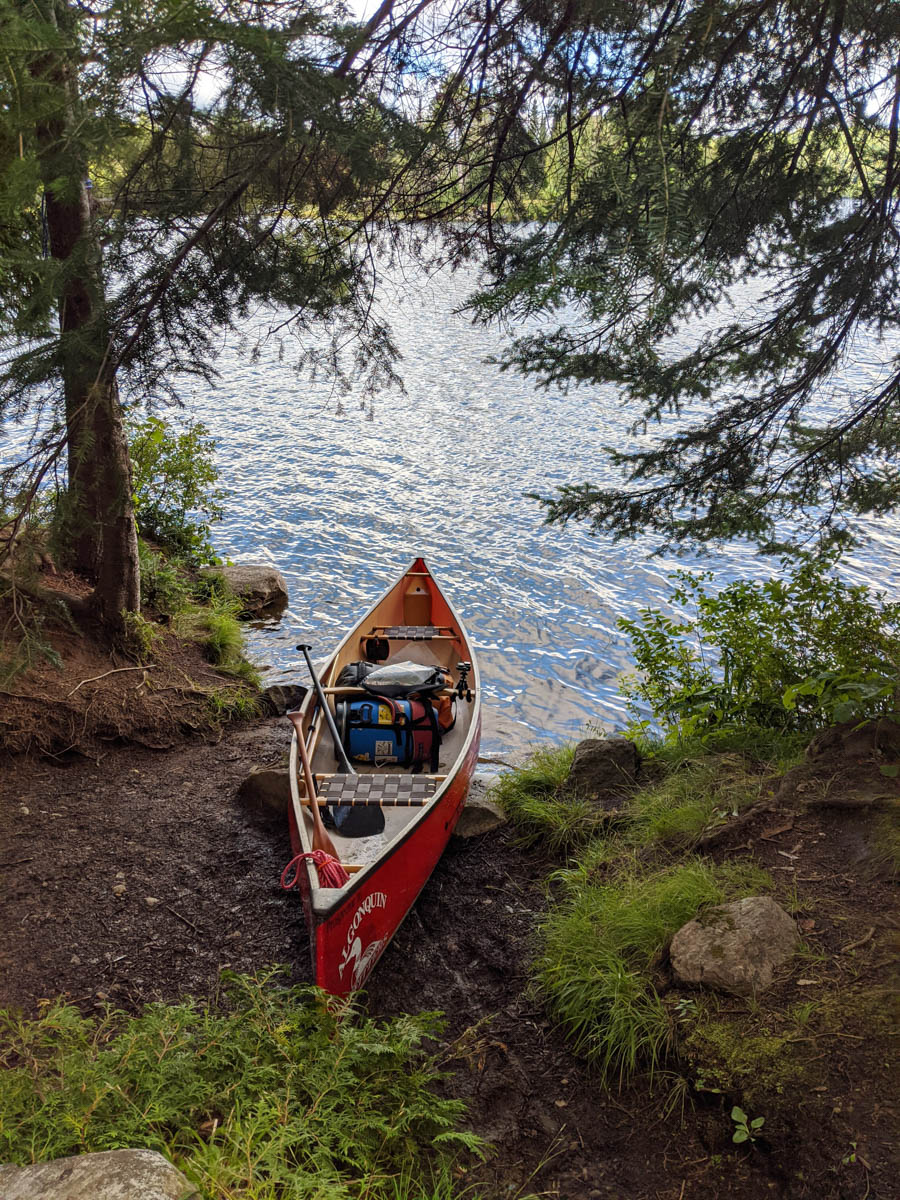
On our travels from Kearney Lake onward we were unsure of our destination for the night. We had to stop somewhere, but there were not a lot of sites available close by. We had a couple of game plans up our sleeve and decided to stop at Lake of Two Rivers beach to assess what we would do for the night. I had checked the reservation system and there was an accessible site open, however they would not let us book it for the night. This is when Scott, a follower of the link, saw us on the beach and came to chat. We discussed our possible plans and we got really lucky. He offered for us to stay on his site for the night! Awesome for us! We accepted and settled in for the night stopping at the LOTR Cafe and Grill for a burger and fries. We sat by the fire enjoying a gifted beverage and chatted about canoe stories and trips. Huge thanks to Scott and Melanie for hosting us that night, it saved us from a late night of paddling.
Wednesday Morning – Lake of Two Rivers to ???
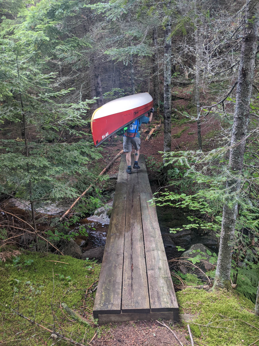
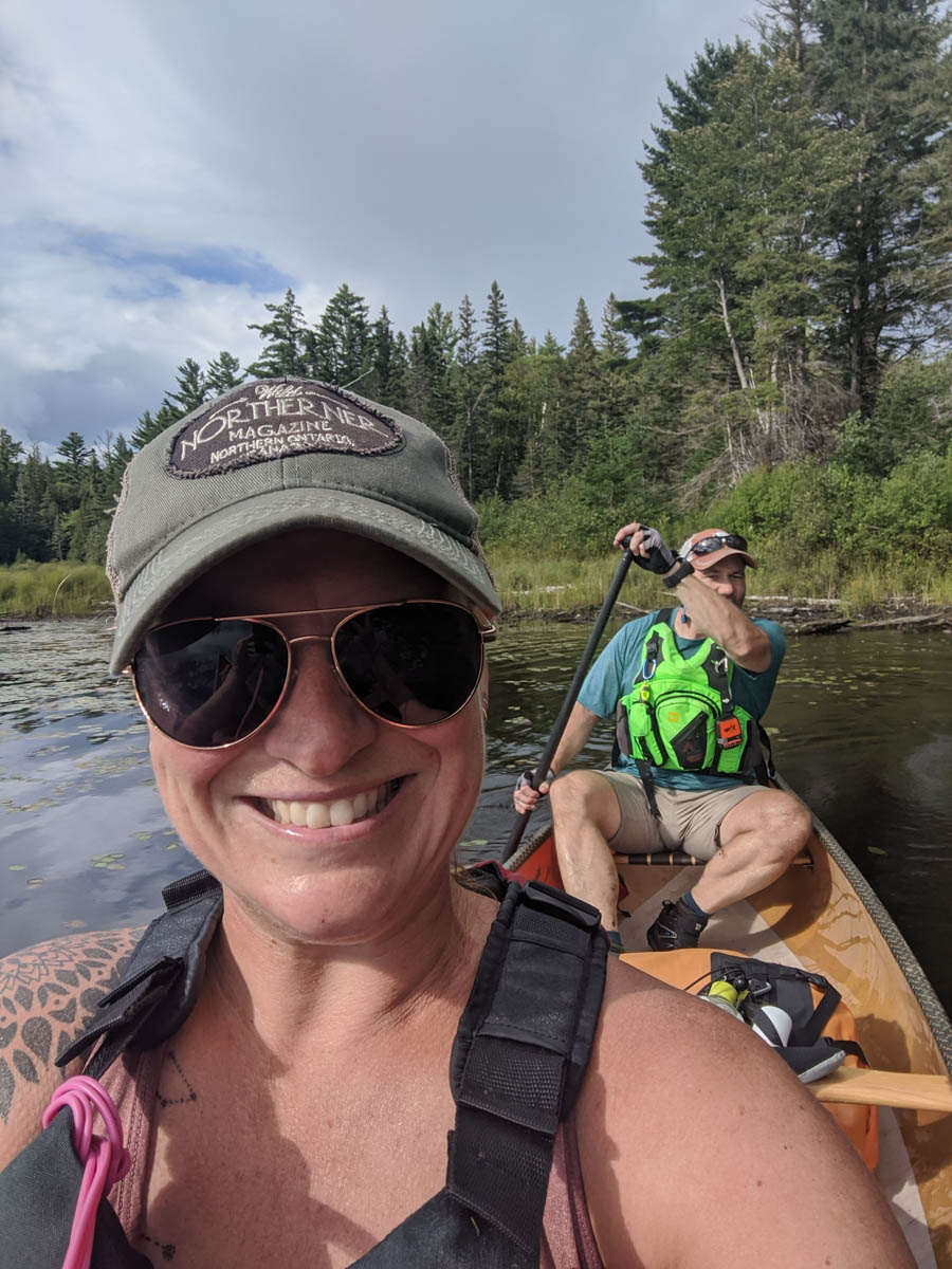
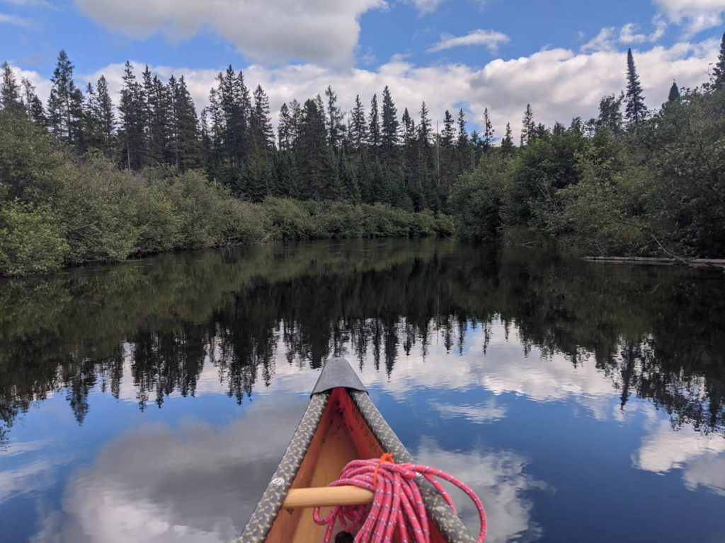
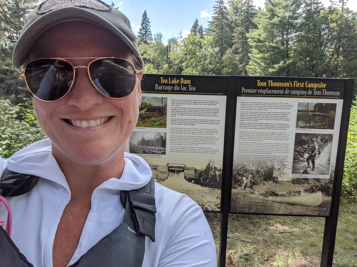
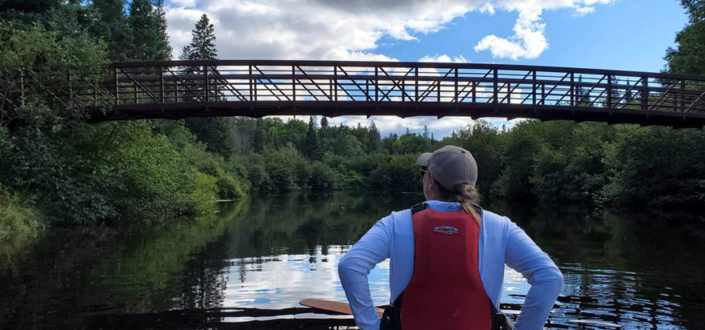
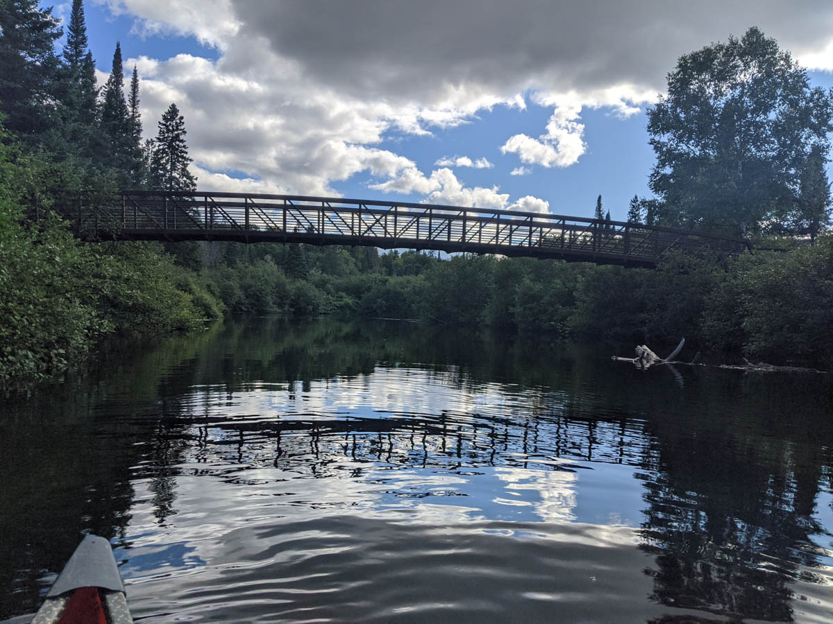
What time do Linkers get up in the morning? Depends on the group. For us, we were up at 5 and pushed off from the beach at 6:45 to head into the Madawaska River. This river plays with your mind as it twists and turns making you think you are going the wrong way, but it’s the only way to go. One minute the sun is on your left, then on your right, then at your face, wait did we just turn around? Nope… just keep paddling. The main part to remember here is to take the correct right turn and not end up on the Head River. Seems we did this with ease and found our way through to the Track and Tower trail crossing and into Cache Lake.
LOTR Beach 
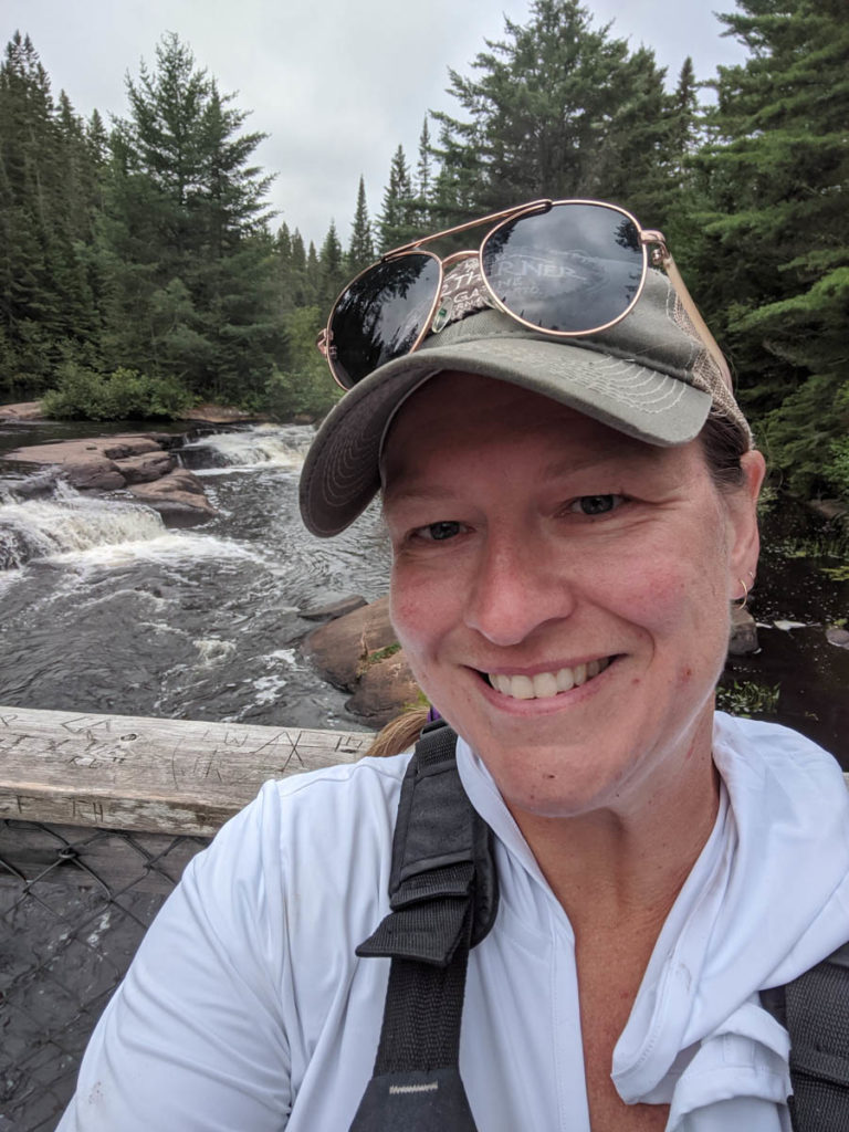
Mew Falls! 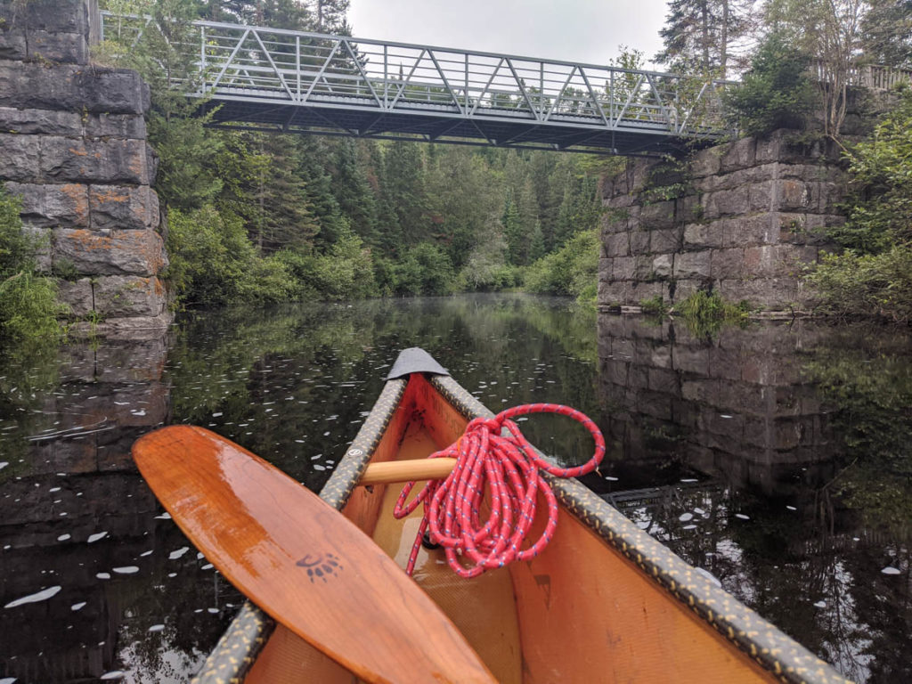
Track and Tower 
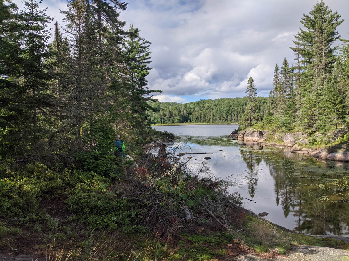
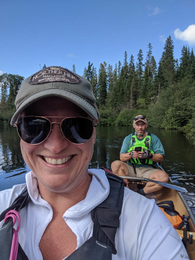
From Cache we traveled into Tanamakoon where we took a quick pit stop to refuel before heading north across highway 60 to visit Camp Pathfinder. This is a mandatory stop on the link to pay respect to where it began for Meanest in Algonquin Park (read about this above in the link provided).

A low wire? dangerous! 
Sink Hole


Wednesday Lunch
With a quick stop at Camp Pathfinder for our official picture, we took a quick lunch break on the 10 m lift over at the end of Source Lake. Here we had a baby deer come out of the woods and scamper around before heading into the water for a swim. This was the biggest wildlife we saw on the entire trip.
Camp Pathfinder 
Camp Pathfinder staff 
These are good! I need to get more. 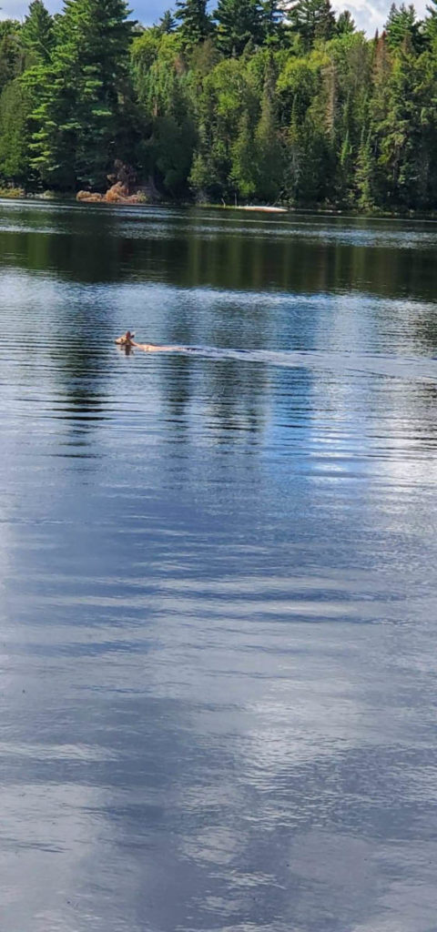
Cutie baby deer
Time for us to get moving again as we head through Ouse Lake and then another crossing of Highway 60 into Smoke Lake then Tea Lake. These two lakes are the last of the bigger lakes and then we entered the Oxtongue River after having paddled 8 hours that day.

Into Smoke 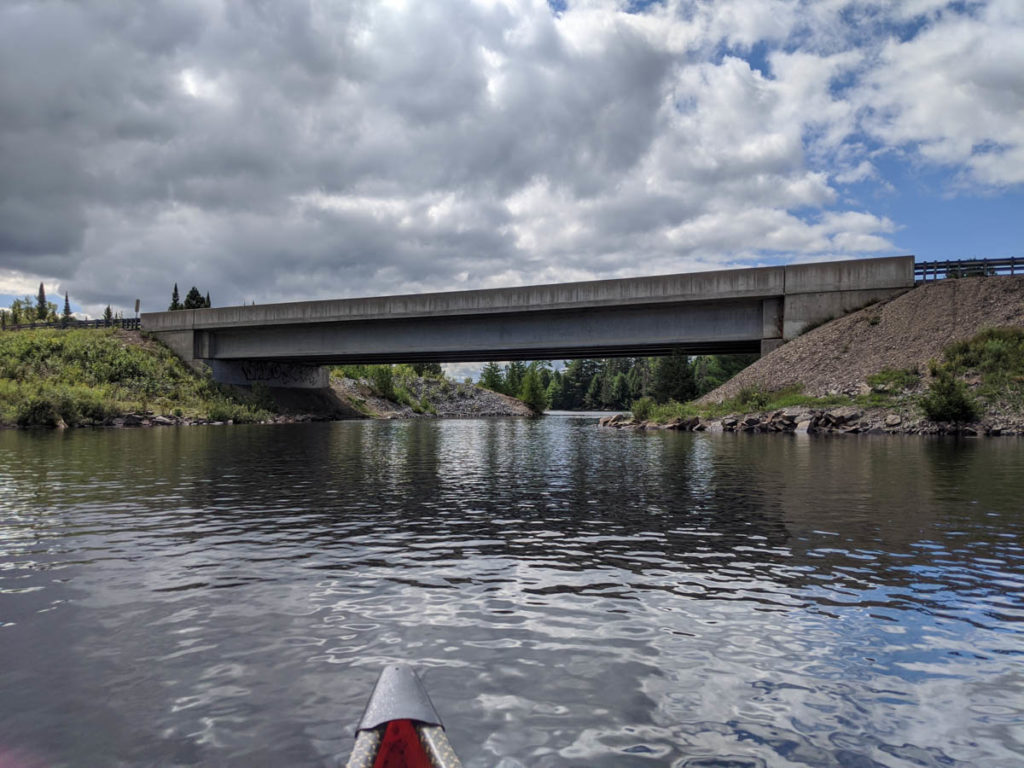
Going Under Hwy 60 

Wednesday Afternoon – Oxtongue River
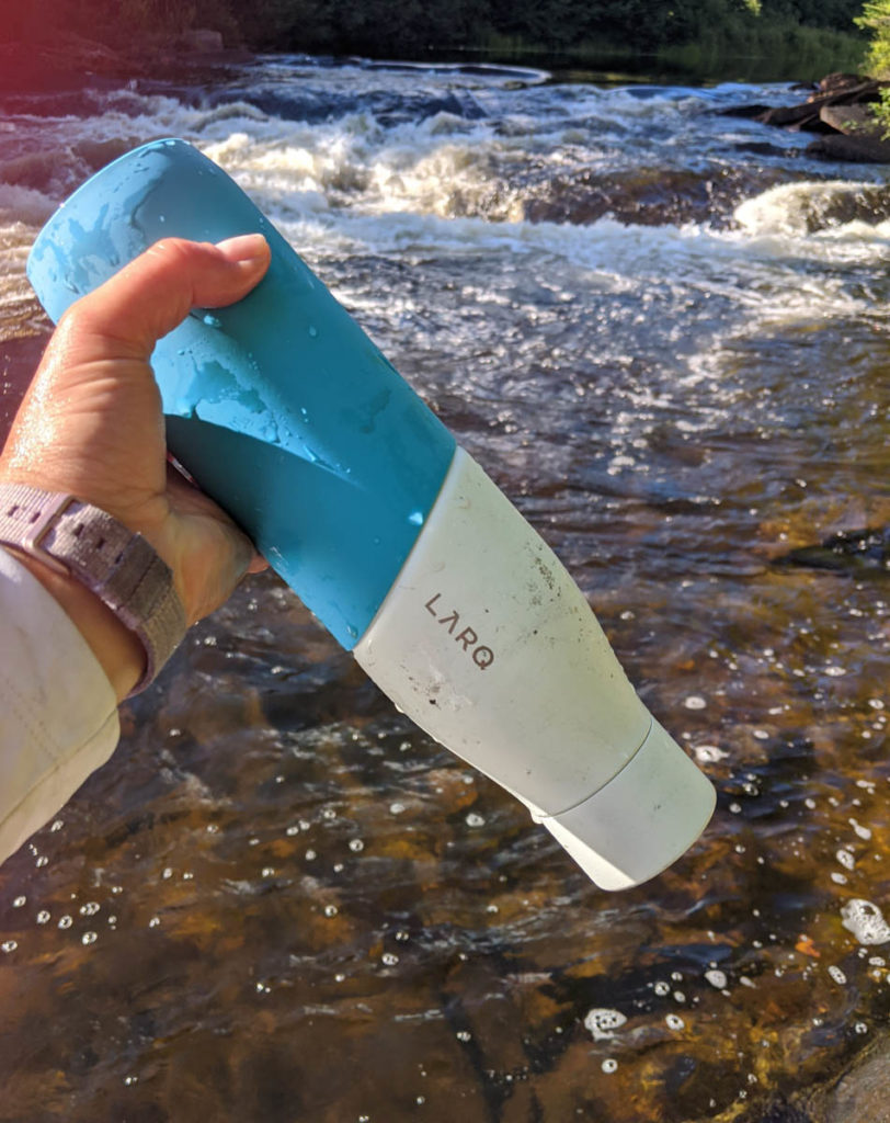
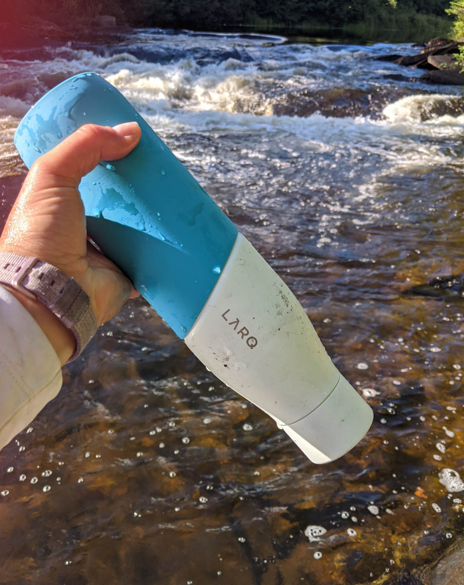
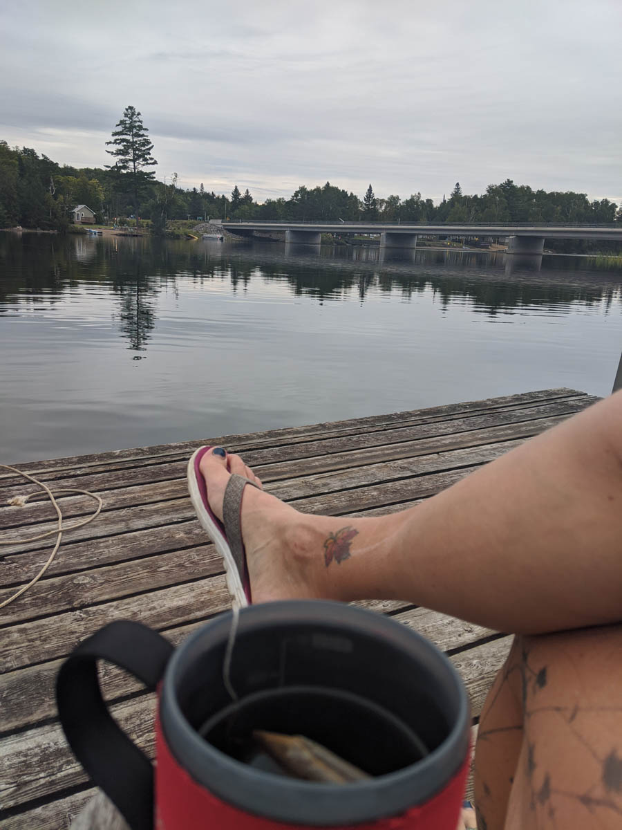
Entering the Oxtongue River was a great feeling as it was our final stretch of this link. We passed under the Western Uplands Backpacking Trail bridge and then kept paddling down river. We had a campsite booked on Upper Twin Falls and made our way to the site to stop and assess our day. Once at the falls we filled up and purifie our water, using my new LARQ water bottle, took in the views of the falls and made an all important decision.

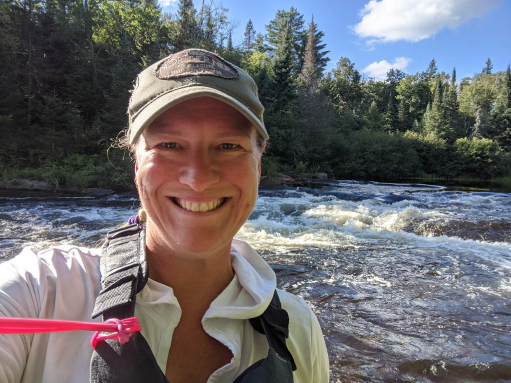

Giddy with joy and happiness


Would we stay the night…. OR would we continue on and paddle the rest of the 22km leg to Oxtongue Lake. Peter let me make the decision based on how I felt and if I would take on the challenge of ending our trip in the dark. At our current rate we estimated landing on the docks at AO Oxtongue at 10 pm.
Decision Time – Wednesday Evening
In the end, we decided to continue on and attack the remainder of this trip. I was giddy with joy but also had a bit of nerves as we would be paddling some of this next section in the dark, which I’ve never done before. When making the decision we know that we would have to complete all the portages up to Ragged Falls before dark. I am familiar with Ragged Falls and the trails that surround them, so I was not to worried about night travel on that trail, but the other portages were unfamiliar and I wanted to be sure we would have light. Being that we were pushing onward my picture taking became minimal as we were now racing the setting sun.
We reached the two small rapids above Gravel Falls where we portaged the first and then decided to run the second (my adrenaline went sky high before reaching Gravel Falls). This portage was easy to complete and we were now entering the next section to Ragged at dusk. Our head lamps were useless in the dusk, so we were relying on the shadows and reflections on the river to guide us around any potential hazards.
When we heard the sounds of Ragged Falls, now in complete darkness I was happy to know this was the last and final portage for the night. I guided us down the trail and over the rocks until we placed the canoe in the water for the final time at the bottom of Ragged Falls.
Having paddled this section of the river before a couple of times I was familiar with the route and gave directions while we used our headlamps to catch the shoreline for safe passage. The cooler air and warmer water created a mist above the river that blinded us in the direct light from our headlamps, so maneuvering the river was tricky, but we were successful.
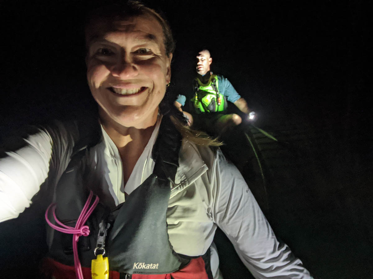
We finally saw the lights of cottages on Oxtongue Lake and followed the right shoreline out to the lake. What was really magical was being out on the lake at night. We took a few minutes to turn off the lights and just look up to the clear sky where the stars twinkled above our heads. I had not yet traveled at night in a canoe and this moment was breathtaking.
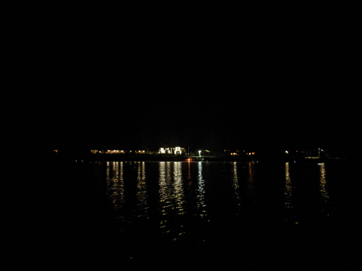
Our final pass under highway 60 was upon us and we landed on the docks at 9:52 pm that night. We had paddled for about 15 hours that day and completed the 102.2 km from Opeongo to Oxtongue. Total time to complete this section was 31 hours and 7 mins (approximately).

Happy Smiles
Wednesday Late Evening into Thursday Morning
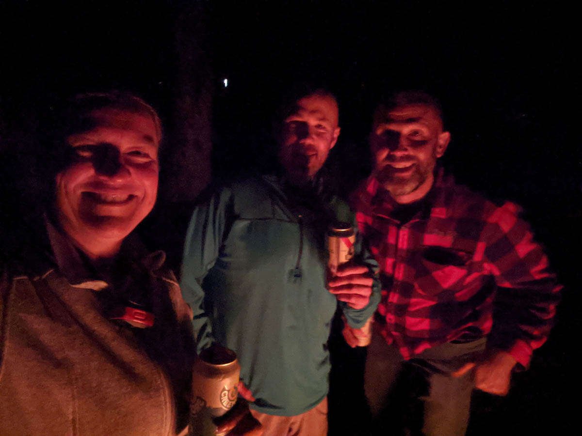
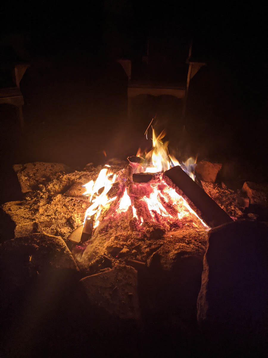
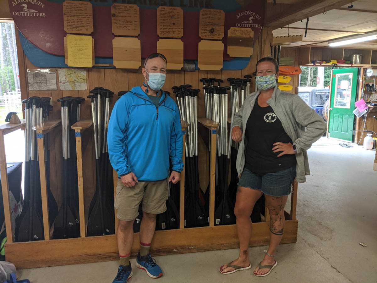
I was ecstatic with joy and sleep was not going to happen any time soon. We had some great company that night as well as a great campfire. The next morning Peter and I went into Algonquin Outfitters to get our official picture taken under the Meanest Link sign. My plans in the future will be to complete this link fully.
Huge thanks for Peter for asking me to join him! Also big thanks to Algonquin Outfitters and all the people following along and posting comments on the link page. This has been quite the adventure and I am so thankful to have completed one section. My arms and back will need a bit of a rest, but I will be off again on another adventure soon.
Affiliate Information
I am currently in an affiliate for companies where I purchase my gear. I do receive some compensation for products purchased through my link. If you are interested in products that I use, click on the appropriate links below to access each company.
Keen Canada please click here.
Mountain Equipment Co-op click here.
Back Road Mapbooks click here.
LARQ click here.
Another great adventure Sue! Thanks for letting us tag along.
Glad you enjoyed. I can’t wait to complete the entire Link one day.
You are a mountain momma for sure…..adventures not for the faint-of-heart. Always good to read about these adventures especially when I know you are home safe and sound <3