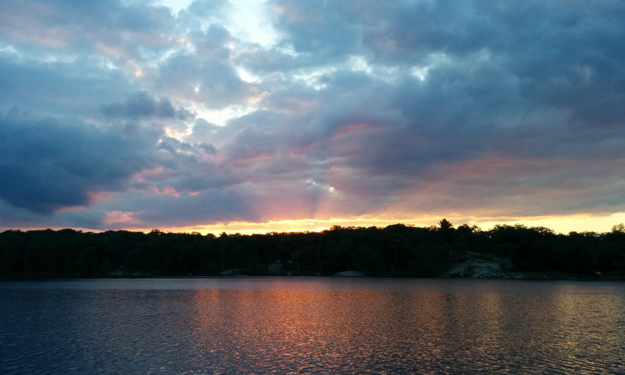
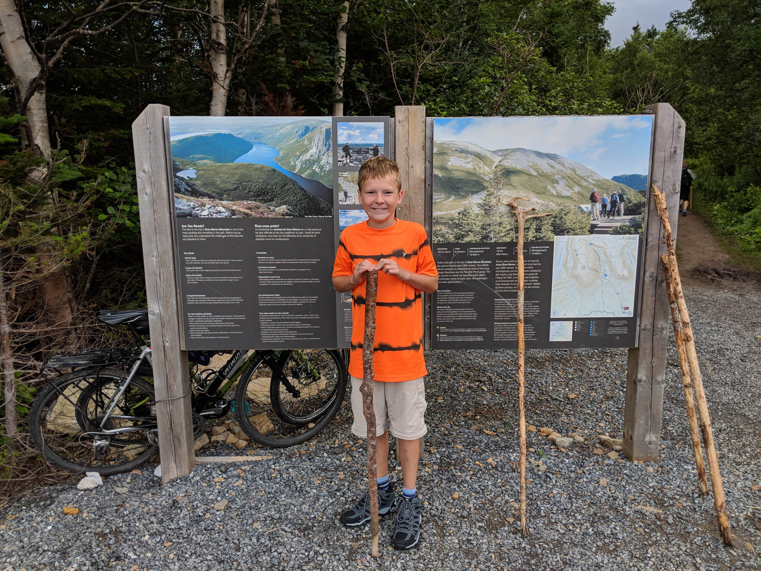
This summer after our wonderful trip to Iceland, we decided to head to the west coast of Newfoundland and visit Gros Morne and surrounding areas. The goal was to hike Gros Morne mountain, again. This would be my third time, Dan’s second time and Hayden’s first! On the Parks Canada website, the information for Gros Morne is listed as Difficult, 16 km return trip, taking 6-8 hours reaching a peak of 806 meters. How did we do? Continue reading to find out.
We have been gearing Hayden up for this hike for a while, trying to explain its magnitude. We have completed some pretty difficult hikes in the past, such as Cascade Mountain last Thanksgiving in the Adirondacks (one of the 46 peaks) as well as hiking Little Slide Lake loop in Frontenac Park. This one would be pushing his limits and ours to be honest. As we get…. older…. we are both finding that our knees are having some issues with the many ups and downs of hiking these big trails, where hiking poles would be useful.
The morning started off early as we really had no idea exactly how long this would take us to complete. Last time it took the two of us just about 6 hours (but we were almost 20 years younger at the time!). We were surprised at just how many people were already at the trail head and knew we had to get going.
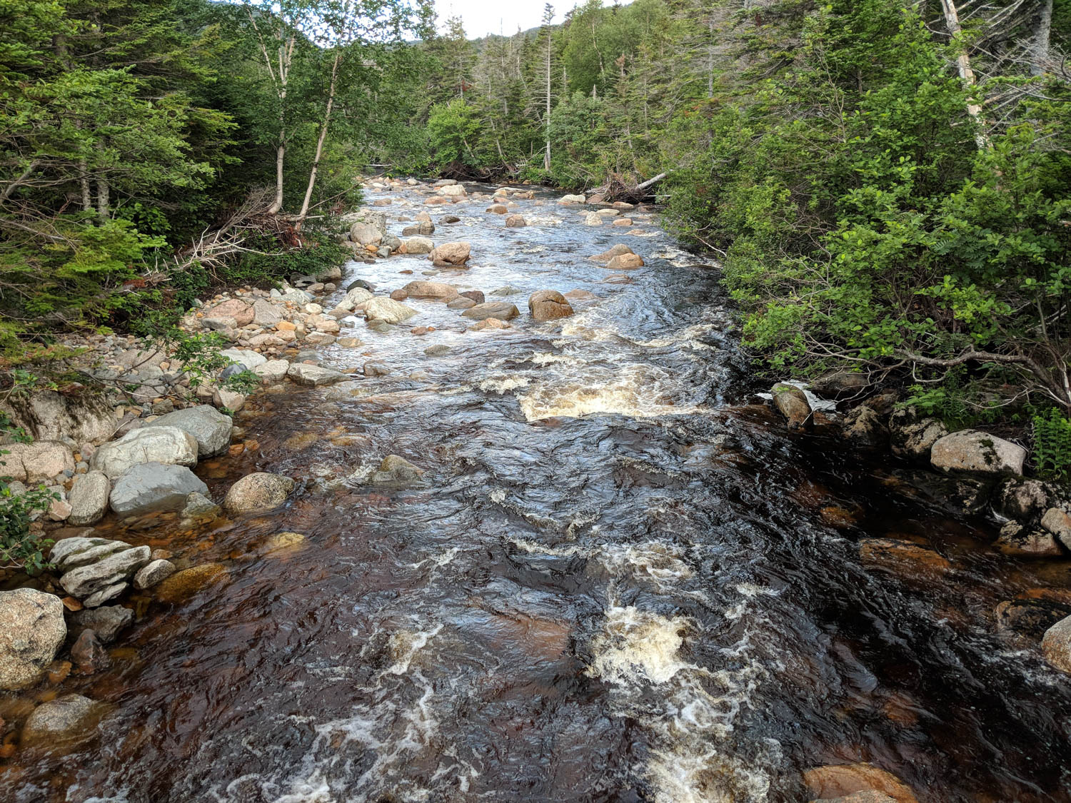
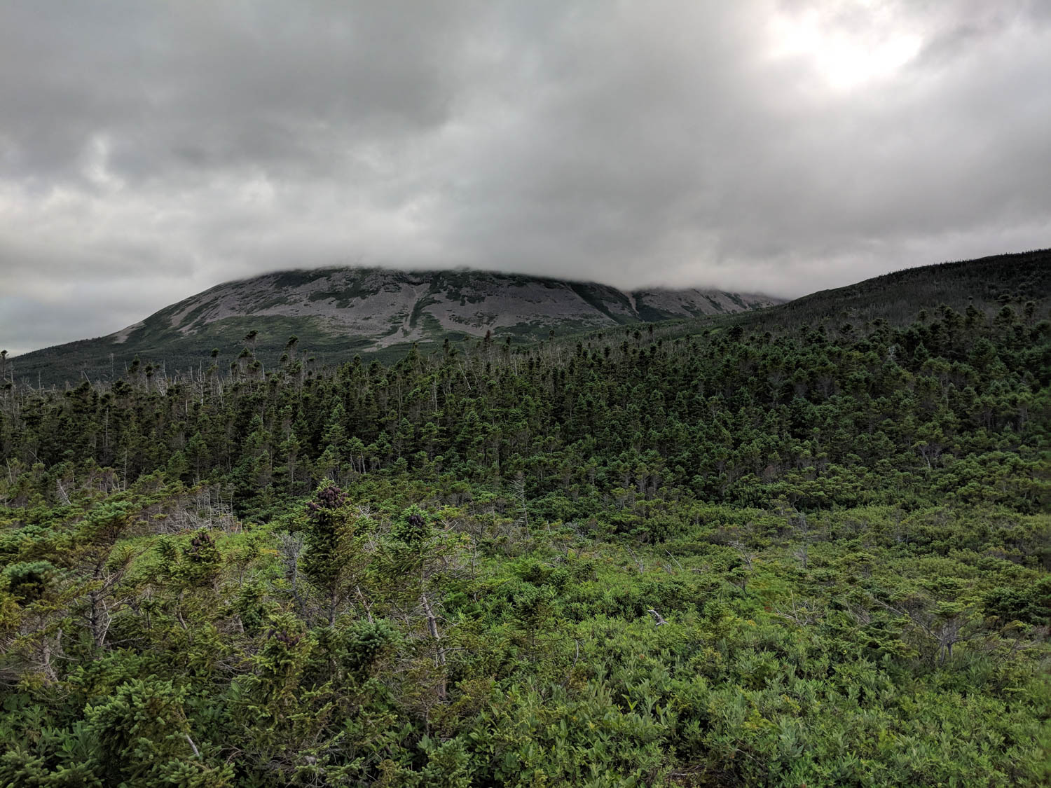
The first section of this trail meandered through the forest for a few kilometers until you reach the base of Gros Morne. There are sections of this trail where you get a glimpse of the mountain far in the distance. We were heading there, it just seemed like it took forever. Many of the conversations that morning was Hayden figuring out ways to speed up this process, like suggesting building a road, a pulley system, or just something to get us to the base faster. It’s amazing just what he thinks up while on our hikes.
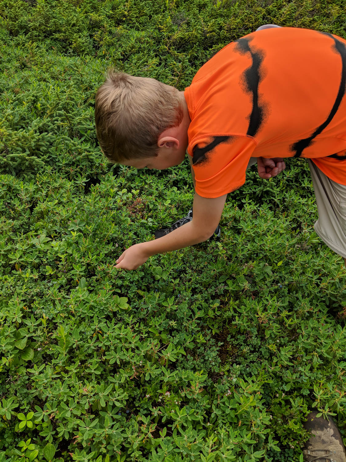
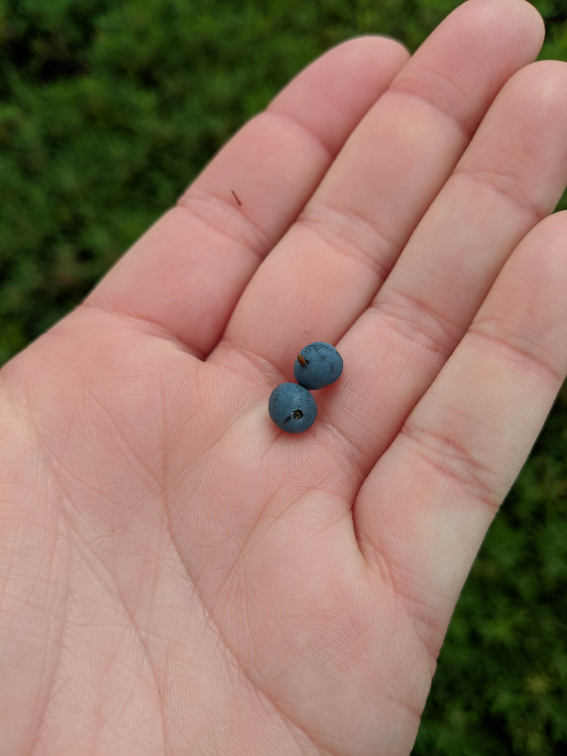
There is an advantage of hiking trails in Newfoundland in August, and that is finding blueberries along the trail side. YUMMY! Hayden and I both had to have a small sampling 🙂
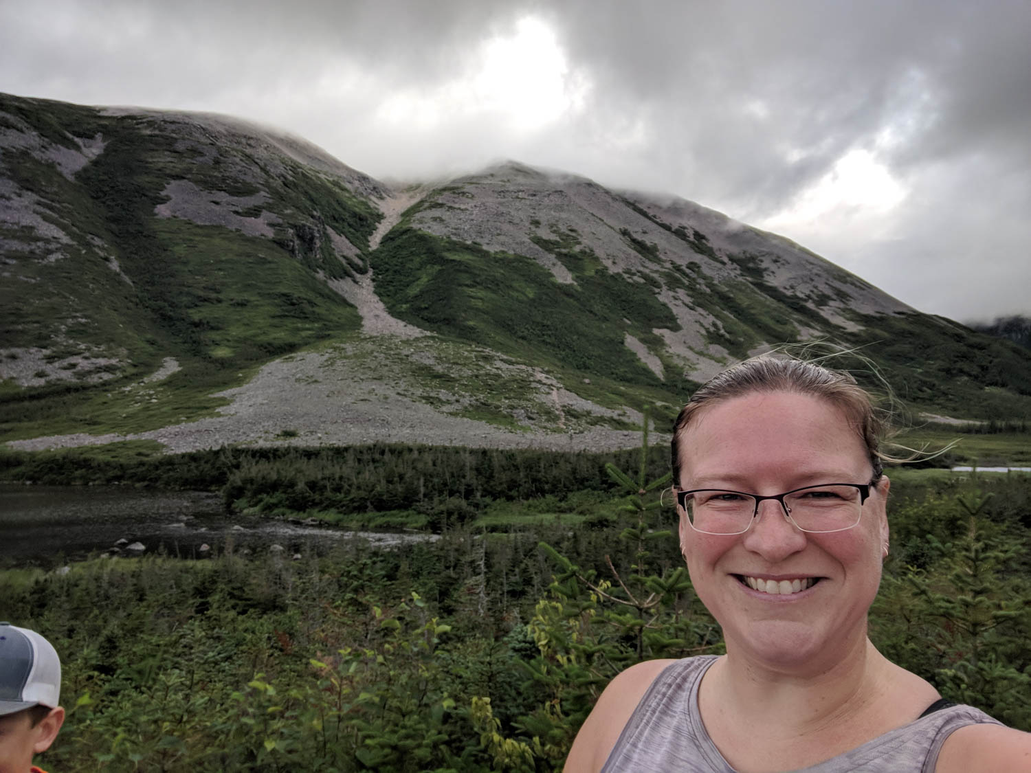
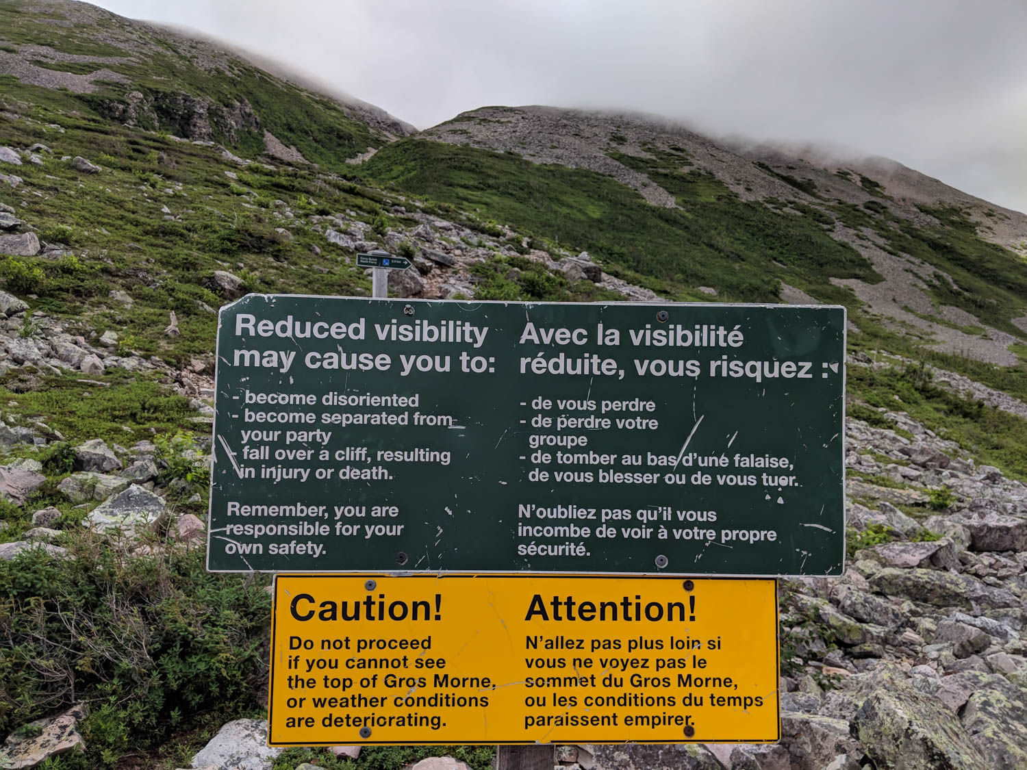
We reached the junction point which is the spot that is the point of no return. The park signage states that if the mountain is covered in clouds, one should not continue the hike. As we watched the top seemed to go in and out of focus behind the clouds, we decided to continue and take our chances. We were not going to return here again for a while. There were many other hikers already part way up the gulch, as seen in the picture below.
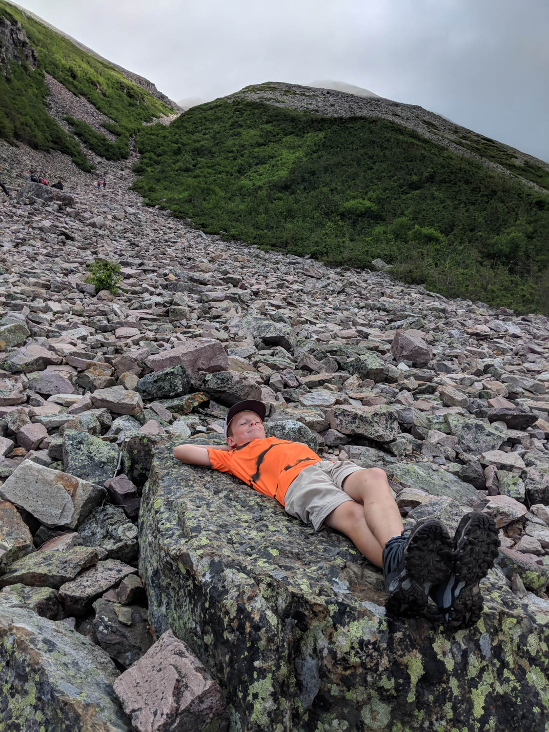
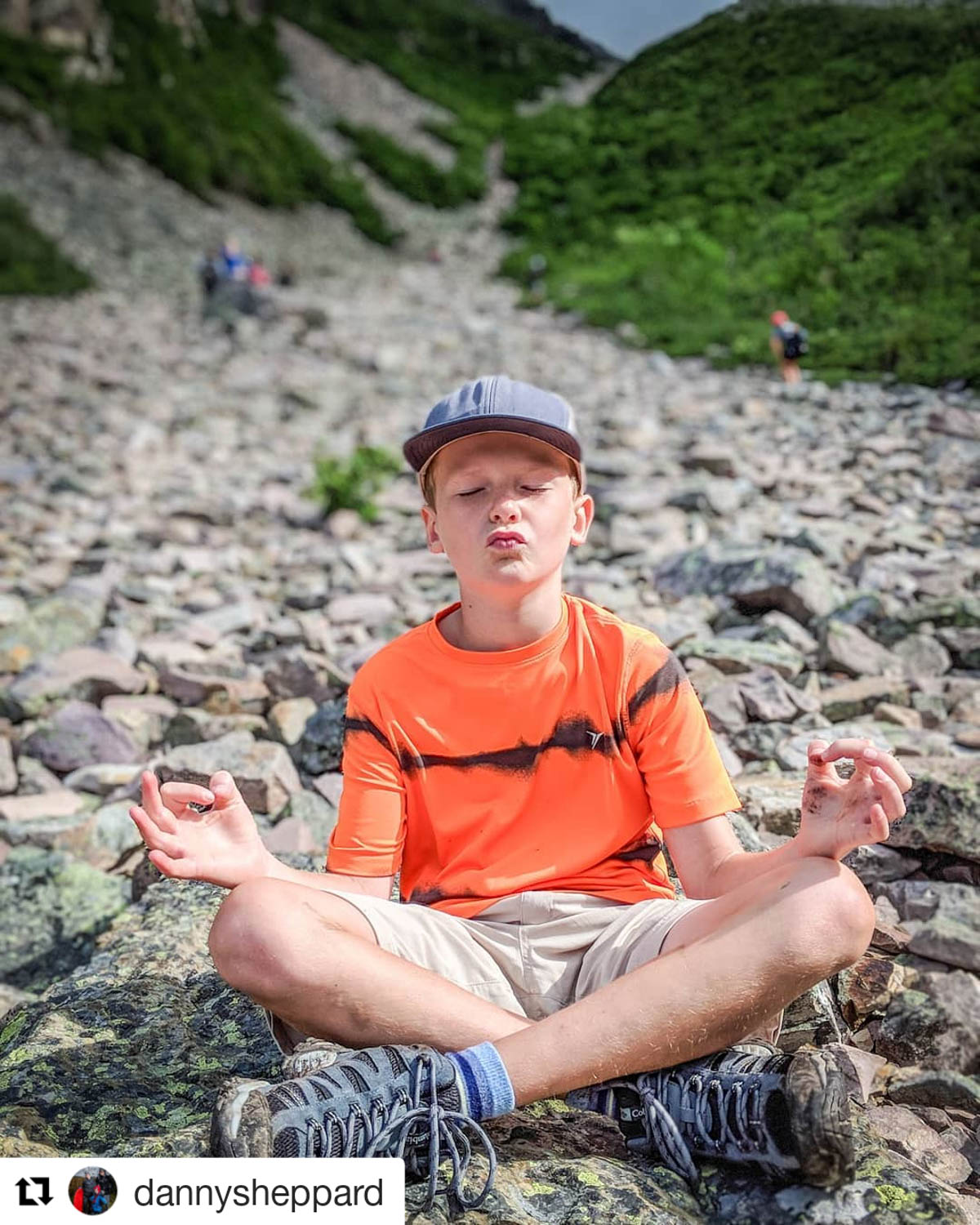
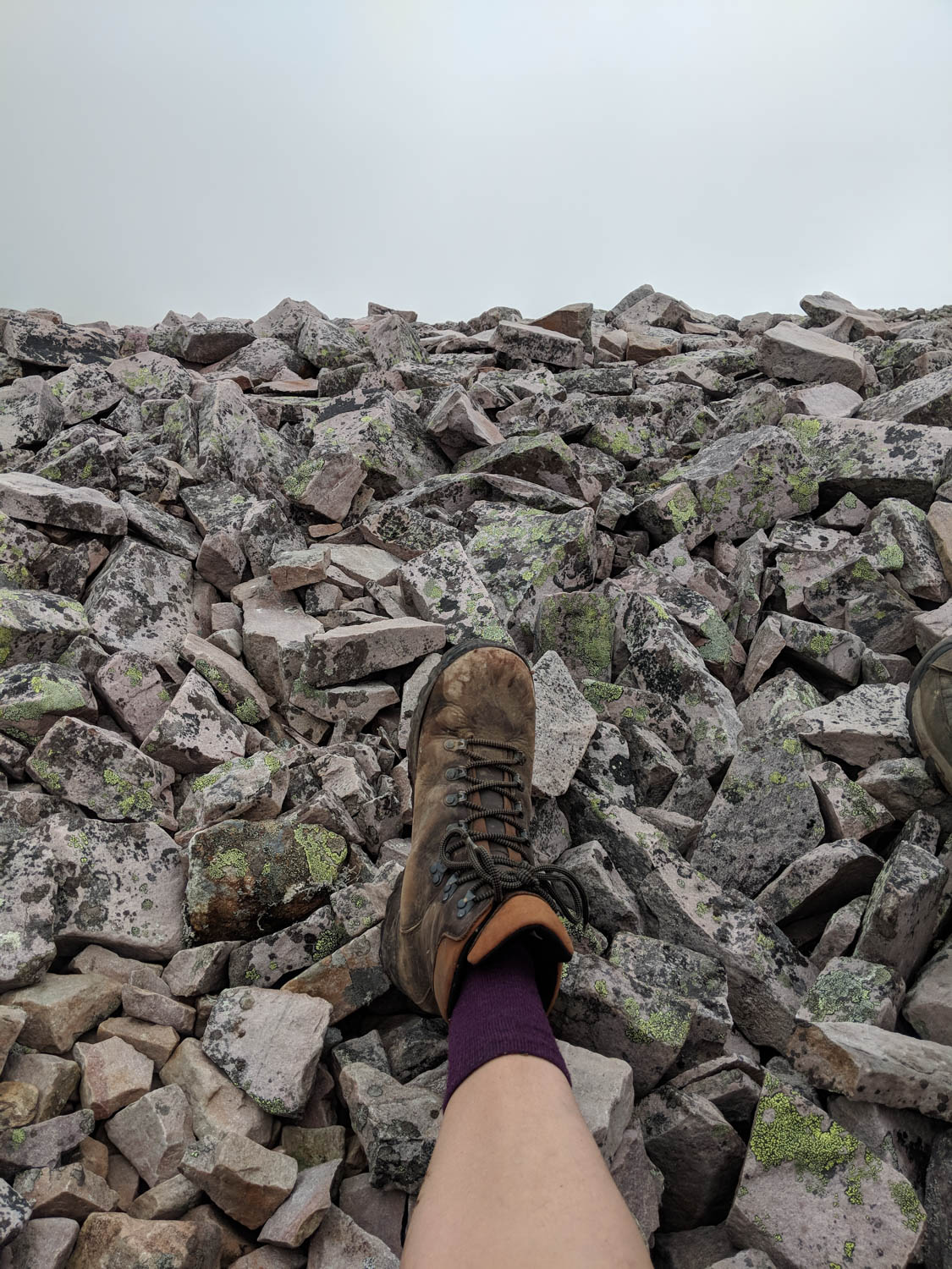
We informed Hayden that this section was going to be the trickiest part. The rocks are sheared granite and can be very slippery and difficult to climb. Knowing he loves to climb rocks really did help him at this part. He even found it funny to stop, relax and find some zen on the huge slabs that were part way up the gulch. This was both amusing to us and other hikers watching him. Always a goof.
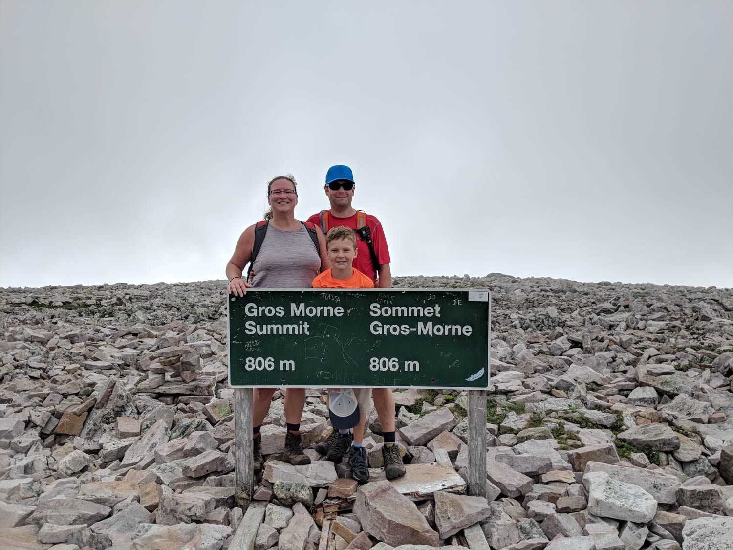
Climbing the gulch took us about an hour. Yes, we had climbed those rocks up the side of the mountain for an hour. When our eyes finally caught the sign for the summit, we knew we had been successful.. so far.. there is still the climb down to contend with.
While on the summit we took shelter from the wind in a man made rock shelter. There must have been about 10-15 of these build at the top. Each shelter was situated with the wall backing onto the prevailing winds. Hikers needed a spot to sit and recoup and these seemed to provide that. We even took some rocks from the surrounding area and made the shelter we were using a little better.
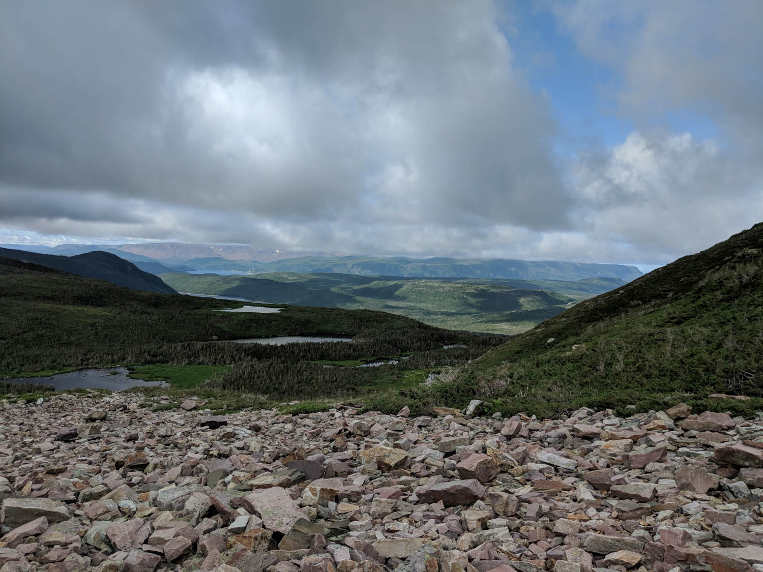
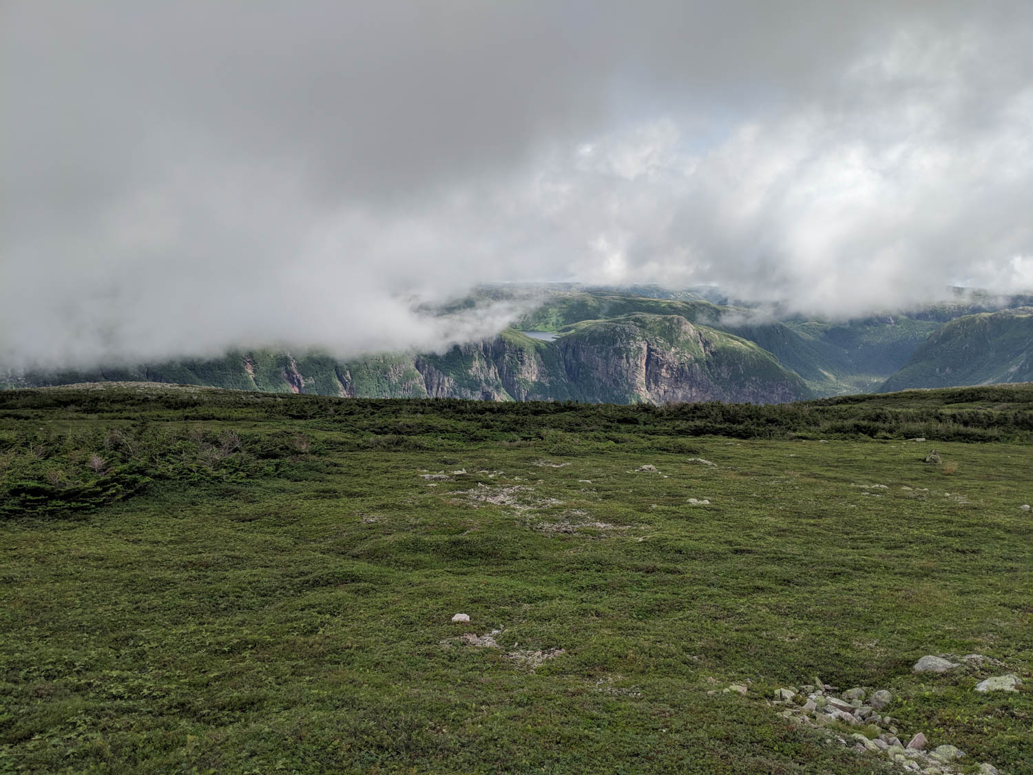
There wasn’t much time spent at the top as the wind was strong and cold. We had to get moving as the way down would take longer since the trail rounds the back of the mountain. This section of trail provides great views of 10 mile pond and multiple waterfalls coming off the surrounding mountains. We didn’t have as nearly as clear of a view as the last time we had hiked this trail, but the clouds let up enough for some pictures.
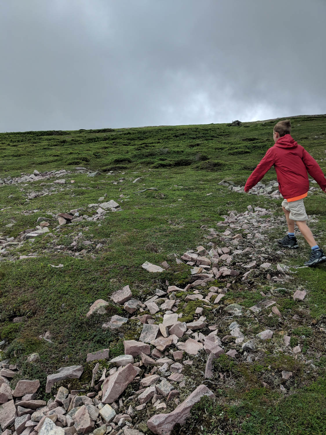
The way back down was hard. Hayden managed to hop, skip and jump his way down the mountain, but the both of us were having some difficulty. It had felt like we were transported back to our Spout hike where we wondered if we would make it out. Guess those hiking poles would have been useful. There were even sections of the trail where Hayden would go so far ahead and wait for the two of us to catch up.
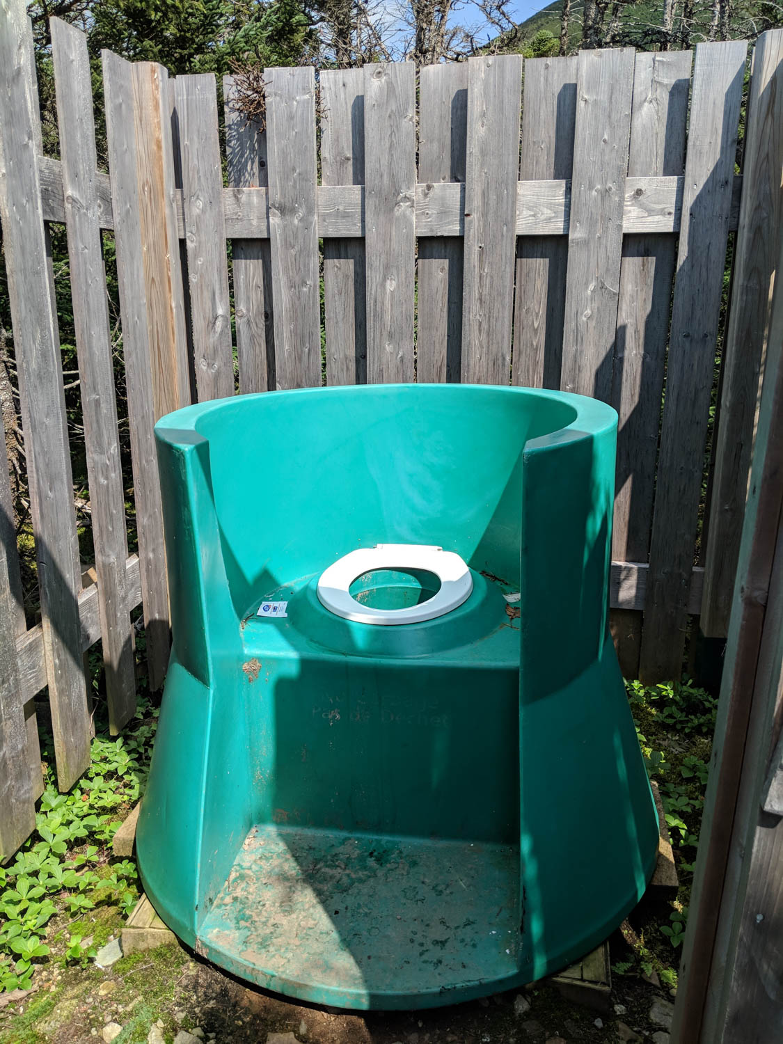
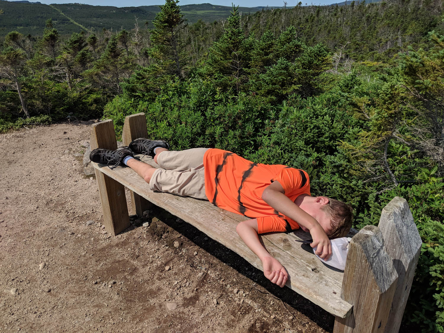
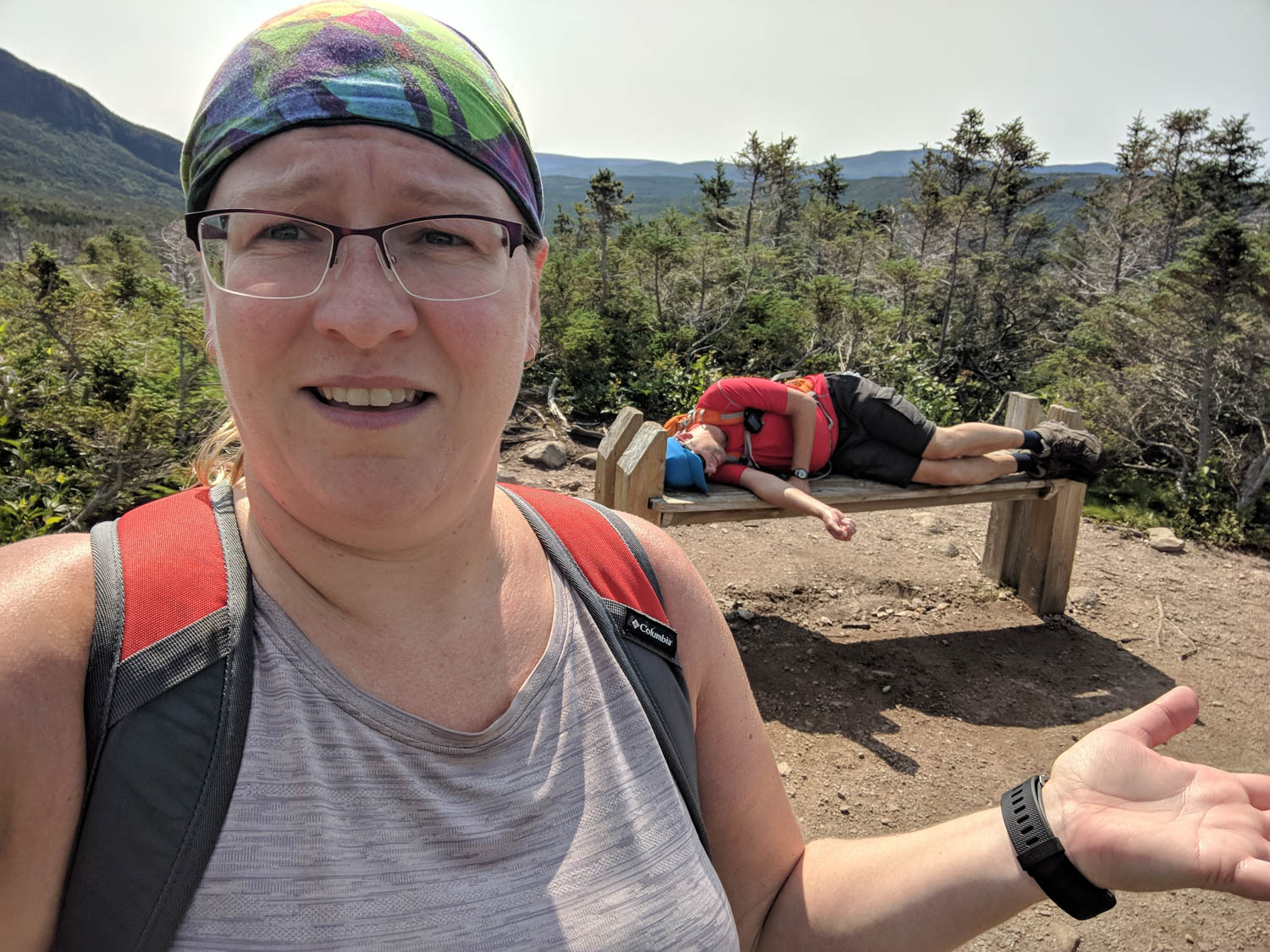
Near the bottom of the mail trail, there were a couple of benches appropriately placed for a pit stop. Luckily there was also a bathroom as we all needed it. These are not like your bathrooms that you find here in Ontario. These have a fence like surround and a plastic “throne” to sit on.
While stopped, the boys decided that it would be time to take a small nap on the benches. This also brings back memories of our Spout hike. With some encouragement, we headed back down the trail and eventually to our car.
The hike took us about 7 1/2 to 8 hours to complete which wasn’t as bad a time as we thought. We entered the hike prepared to take almost the whole recommended time or longer, it just depended on how Hayden (and Dan) would fare on this hike.
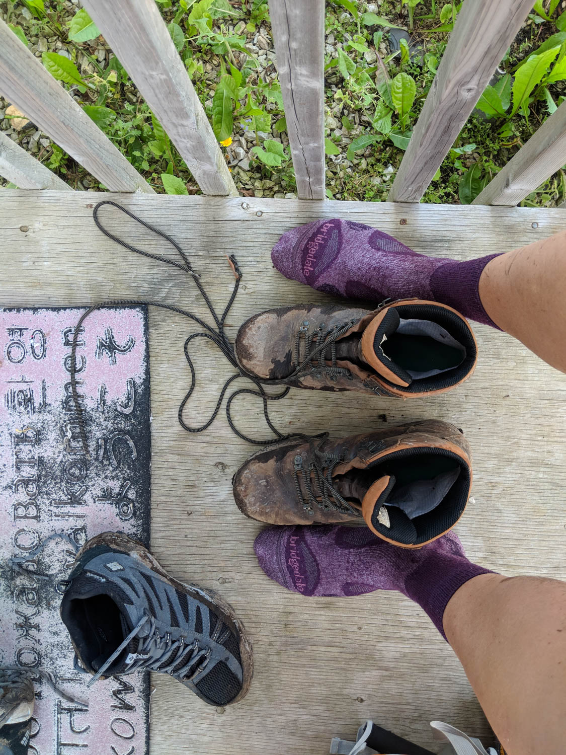
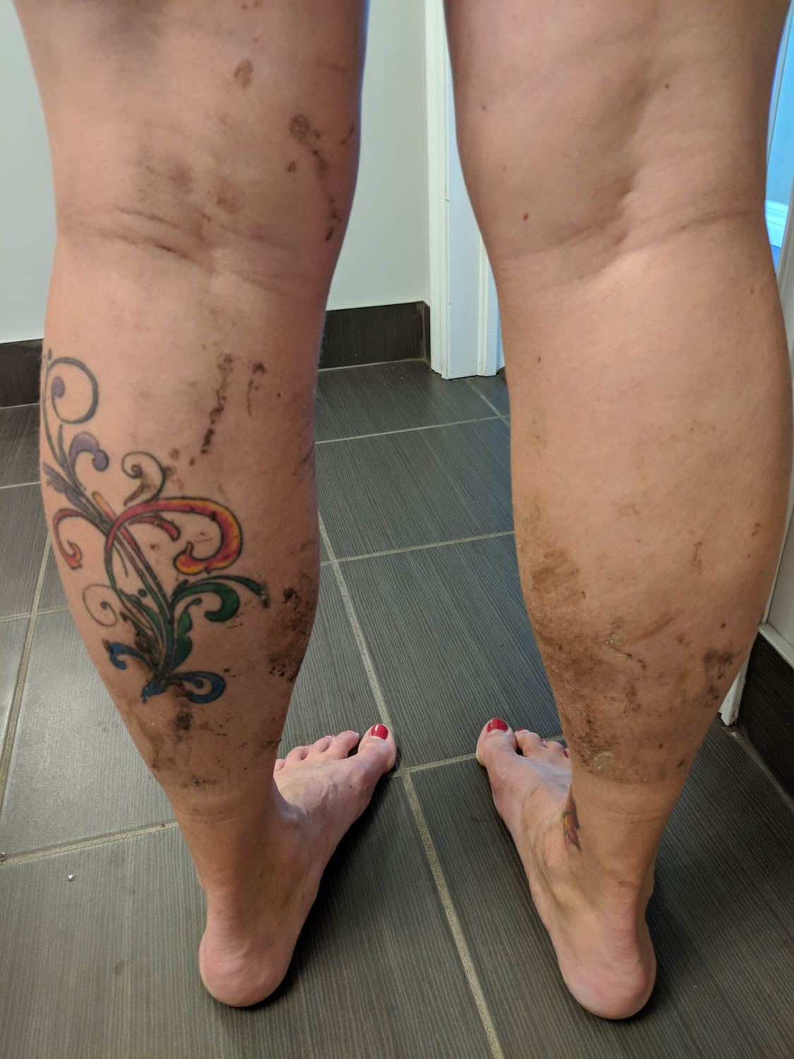
Best feeling ever to have completed this hike three times, and when the hiking boots come off. Our legs would be feeling this the next day!
Great accomplishment!! Hayden was a trooper for sure!